Technical Information
Type of route: circular
Departure points: Adahuesca (track), Alquézar, Radiquero.
KM: 14,4
Duration: 2 h
Gradient: +255 m
Difficulty:
Points of interest
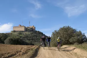
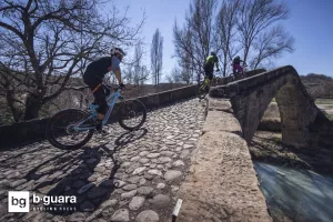
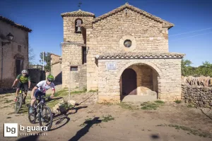
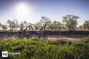
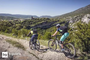
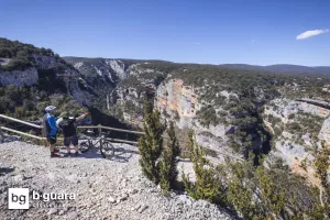
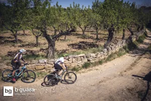
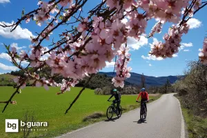
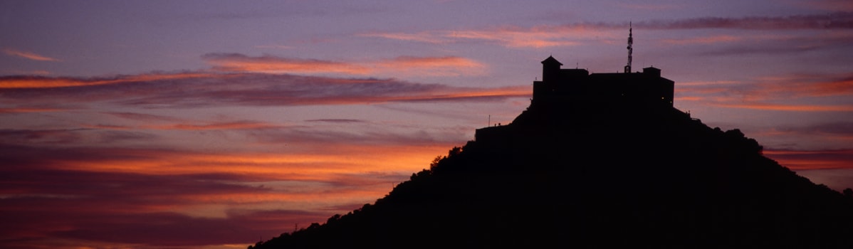
Shepherd's hut on the road from Adahuesca to Alquézar, panoramic stretch between Alquézar and Radiquero, villa de Alquézar and the towns of Radiquero and Adahuesca, fields of olive and almond trees.
Description route
Highly recommended route to enjoy without haste the best landscapes in the south of the Sierra de Guara.
The route ascends from the somontano or foot of the Adahuesca mountain range towards Alquézar, passing through holm oak forests, cereal fields and Mediterranean crops such as olive or almond trees. From Alquézar to Radiquero there is a continuous up and down that gives us beautiful panoramic views of the foot of the mountain range and the flat land. From Radiquero we will gradually lose the slope we have gained in the ascent until we reach Alberuela de Laliena and finally Adahuesca. Along the route there are some steep but short ramps, the route being generally very smooth along tracks in good condition.
The route can be extended by combining it with those of Ermita de Treviño or San Pelegrín.
Photo gallery


Map