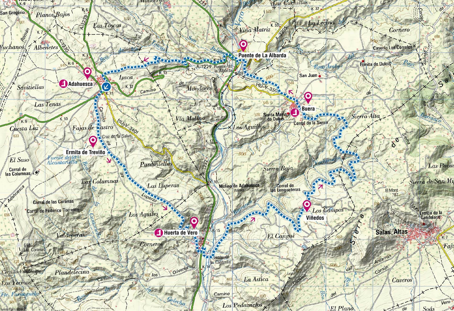
Technical Information
Type of route: circular
Departure points: Adahuesca (track), Buera.
KM: 20,8
Duration: 2 h 30 min
Gradient: +370 m
Difficulty:
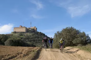
Points of interest
Village of Buera,
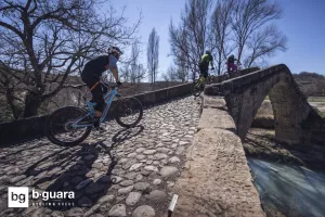
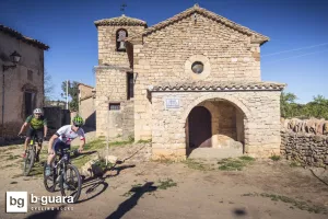
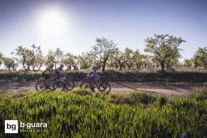
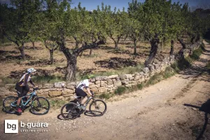
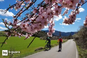
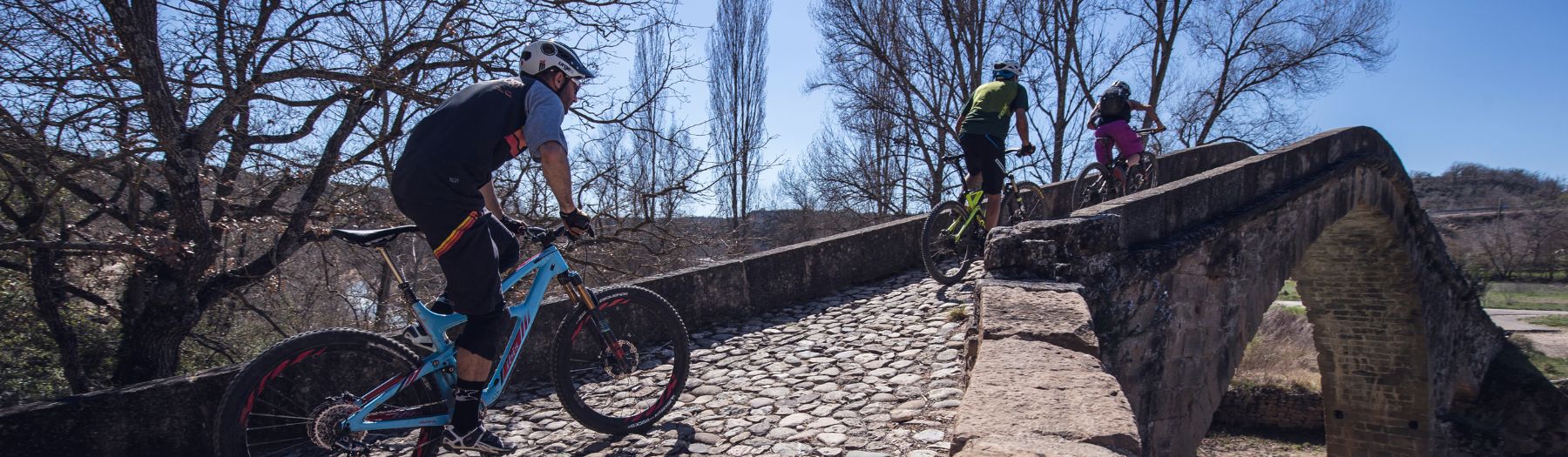
Hermitage of Our Lady of Treviño (early 13th century, Romanesque-Gothic transition), fields of olive trees, almond trees and vineyards, Albarda Bridge and Vero river.
Description route
Affordable route between olive fields and vineyards, with an adequate distance and gradient to enjoy a morning or afternoon of quiet pedaling.
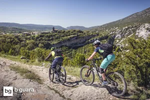
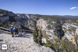
It has the incentive of the simple stretch of trail between Buera and Puente de la Albarda, which can be considered a first introduction to the enduro trails that we will find in the Sierra de Guara. The route also has several points of heritage interest: the interesting Romanesque-Gothic hermitage of Treviño (13th century) right at the beginning of the route, the beautiful town of Buera and the Romanesque bridge of La Albarda (13th century) over the river Vero.
The route can be expanded with the loops of the Pie de Sierra and Colungo-Buera routes to complete an excellent 35-40 km long track route.
Photo gallery


Map