Technical Information
Type of route: circular
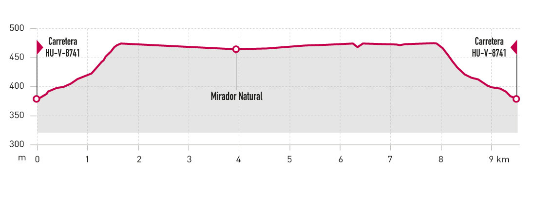
Departure point: Terreu - Ctra. HU-V-8741 PK 12,9
KM: 9,5
Duration: 2 h 15 min
Gradient: 110 m
Difficulty:

Points of interest
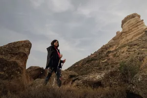
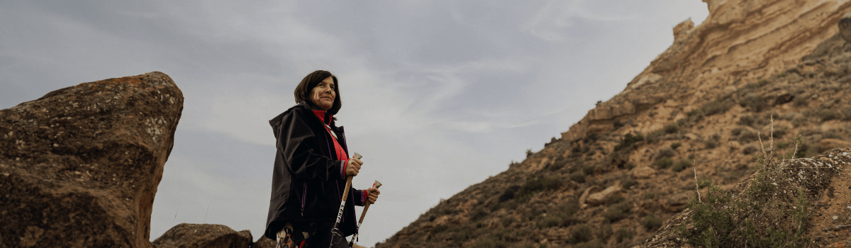
Panoramic views and geological formation Muela de Terreu.
Route description
Located between the rivers Alcanadre and Cinca, the Muela de Terreu is a high plateau with sandstone walls and cliffs, as well as with spectacular panoramic views of the surrounding area.
Access to the starting point of the route is via the HUV-8741 road from El Tormillo to Ilche. At KP 12.9 you can park and start the route from there. The route climbs up to the Muela de Terreu on a track in good condition, and upon reaching the mountain top you’ll find two paths: the first to a viewpoint located on the south-facing part of the mountain, the second to the north.
The route is entirely on tracks between the fields that used to crown the plateau.
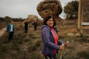
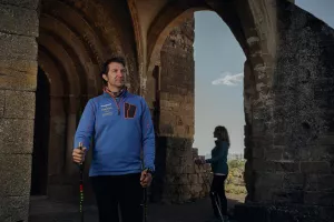
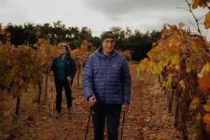
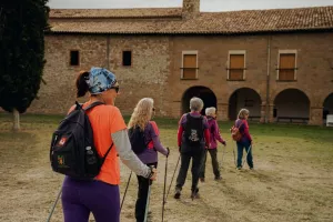
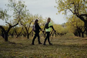
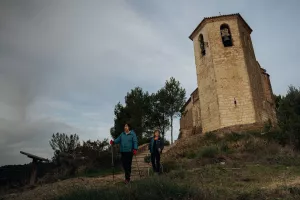
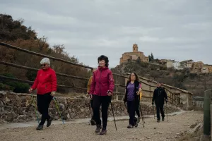
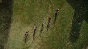
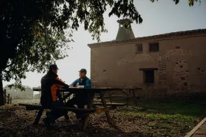
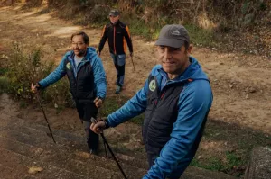
Photo gallery


Map