De interés geológico
Geological interest
Somontano provides a perfect opportunity to learn how the landscape around us was formed. A visit through the region reveals signs of geological processes that explain the existence of mountains and valleys, canyons and stone pillars, rocky outcrops and cliffs.
Start your journey here to see the main points of geological interest in Somontano.
Huevo de Morrano
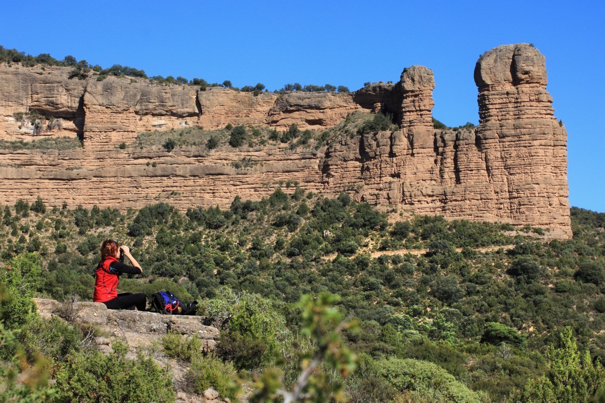
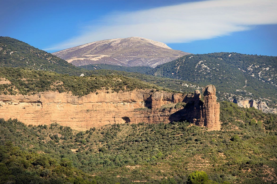
The conglomerate rock that borders the mountain ranges of the region gives rise to distinctive pinnacles that are very characteristic of the area between the pre-Pyrenean hills and the Ebro Valley; known locally as “mallos.” They are impressive formations with sheer, vertical walls and rounded peaks that rise to great heights. They were formed by the intervention of conglomerate masses of great size and power that had few bedding joints and a network of regularly spaced orthogonal fractures.
Signage: Pacos de Morrano Route


Gypsum of Eoceno. Peraltilla
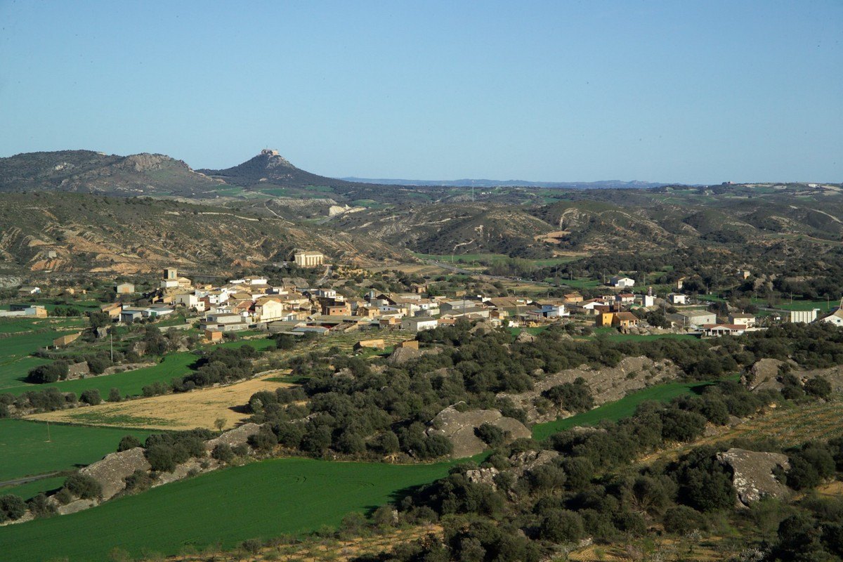
These rolling hills are clearly visible from the main N-240 road near Barbastro. They are unique in character as they are gypsum-based in comparison to the majority of the substrate of the area, which is mainly sandstone and clay. As gypsum is a soft rock, the landscape here is made up of gentle peaks and flat valleys where a build-up of fertile lime helps the cultivation of crops.
The plants here are gypsum-tolerant; these are more common on the Ebro Valley plains and relatively unusual in Somontano.


Tamara and el Puntillo springs. Bierge
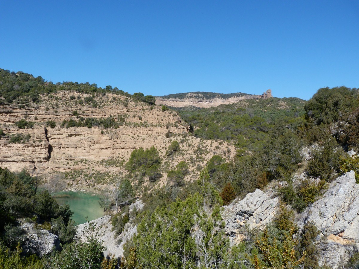
Water filtered into limestone can re-surface through springs as the Tamara spring, outside Fornazos strait. The place, as the surrounding of the Puntillo spring, downstream, is one of the most beautiful parts of Guara Park.
In this stretch in Alcanadre River the differences in sandstone, conglomerate and limestone made by fluvial modelling can be visible.
Signposting: Route to the Tamara and el Puntillo Springs


