De interés geológico
Muelas of El Tormillo and Terreu, tabular relief. El Tormillo
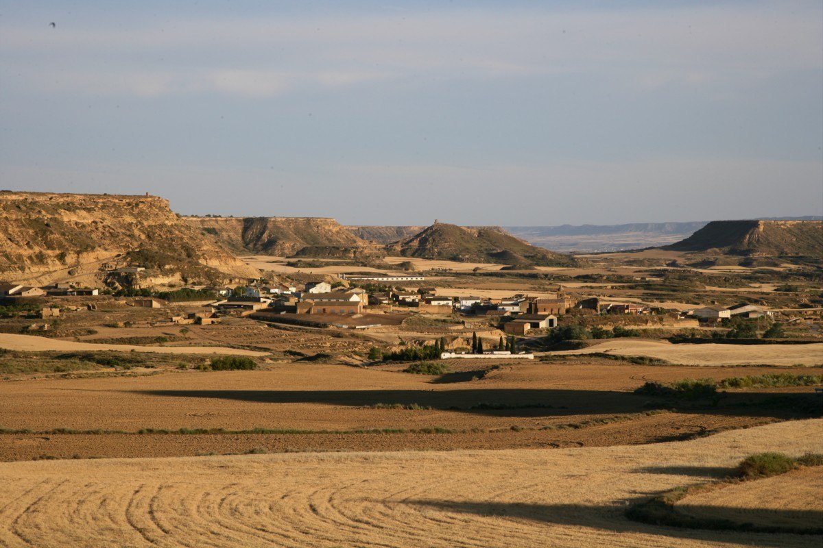
These table-top hills are located to the south of Somontano. Before the Alpine orogeny occurred, sediments of different matter settled horizontally and, layer by layer, built up a stratum of diverse compositions. (limestone, clay, loam etc.) Later, the erosive effects of a network of rivers gave rise to these distinctive hillocks. They are all that remains of a large surface area and now sit isolated between wide valleys that were patiently carved by the erosive force of the rivers.


Mascún Canyon. Rodellar
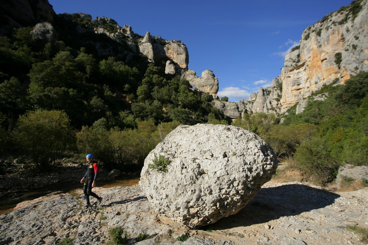
This dramatic canyon is located to the north of the Rodellar Valley, in the heart of the Guara Natural Park.
The karstic, limestone rock shows effects of erosion in the form of small grooves and narrow furrows that are separated by ridges, also known as “limestone pavements.” The karst effect is also at work under the surface where underground rivers flow for tens of kilometres. In addition there is an abundance of underground lakes, siphons, chasms and caves that feed freshwater springs, one of which provides the steady flow of water for the Mascún River.
Signage: The Mascun Canyon Route


Cárcavas de Morilla. Morilla
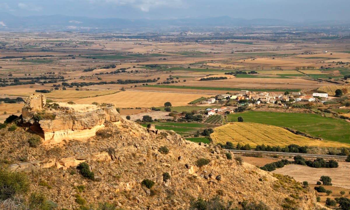
This rugged landscape, made up of gullies, canyons and sandstone pikes, came about due to the erosion of detrital material. The word “cárcavas” refers to an excavation of soft materials such as sandstone, lime and sand, which produce incisions in the ground to create narrow gullies, both shallow and deep, that sit in close proximity.
Combe de Balced
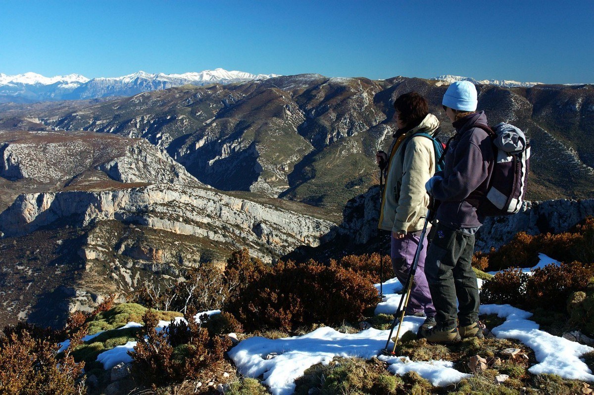
This undulating valley is clearly visible from the main road that runs from Bierge to Rodellar. It was formed by the River Isuala and follows the curved line of an anticlinal fold and is framed by a series of crests that represent all that remains of eroded layers.
Route: Por la Cresta de Balced. Rodellar-Las Almunias


