Ruta geológica
Cárcavas de Morilla. Morilla
This rugged landscape, made up of gullies, canyons and sandstone pikes, came about due to the erosion of detrital material. The word “cárcavas” refers to an excavation of soft materials such as sandstone, lime and sand, which produce incisions in the ground to create narrow gullies, both shallow and deep, that sit in close proximity.
Combe de Balced
This undulating valley is clearly visible from the main road that runs from Bierge to Rodellar. It was formed by the River Isuala and follows the curved line of an anticlinal fold and is framed by a series of crests that represent all that remains of eroded layers.
Route: Por la Cresta de Balced. Rodellar-Las Almunias


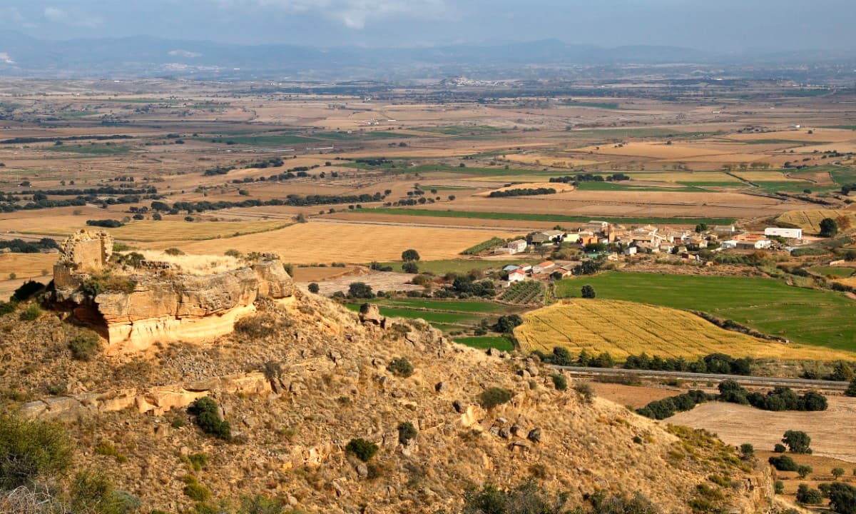
Gypsum of Eoceno. Peraltilla
These rolling hills are clearly visible from the main N-240 road near Barbastro. They are unique in character as they are gypsum-based in comparison to the majority of the substrate of the area, which is mainly sandstone and clay. As gypsum is a soft rock, the landscape here is made up of gentle peaks and flat valleys where a build-up of fertile lime helps the cultivation of crops.
The plants here are gypsum-tolerant; these are more common on the Ebro Valley plains and relatively unusual in Somontano.


Tamara and el Puntillo springs. Bierge
Water filtered into limestone can re-surface through springs as the Tamara spring, outside Fornazos strait. The place, as the surrounding of the Puntillo spring, downstream, is one of the most beautiful parts of Guara Park.
In this stretch in Alcanadre River the differences in sandstone, conglomerate and limestone made by fluvial modelling can be visible.
Signposting: Route to the Tamara and el Puntillo Springs


