Technical information
Type of route: circular/ Rally
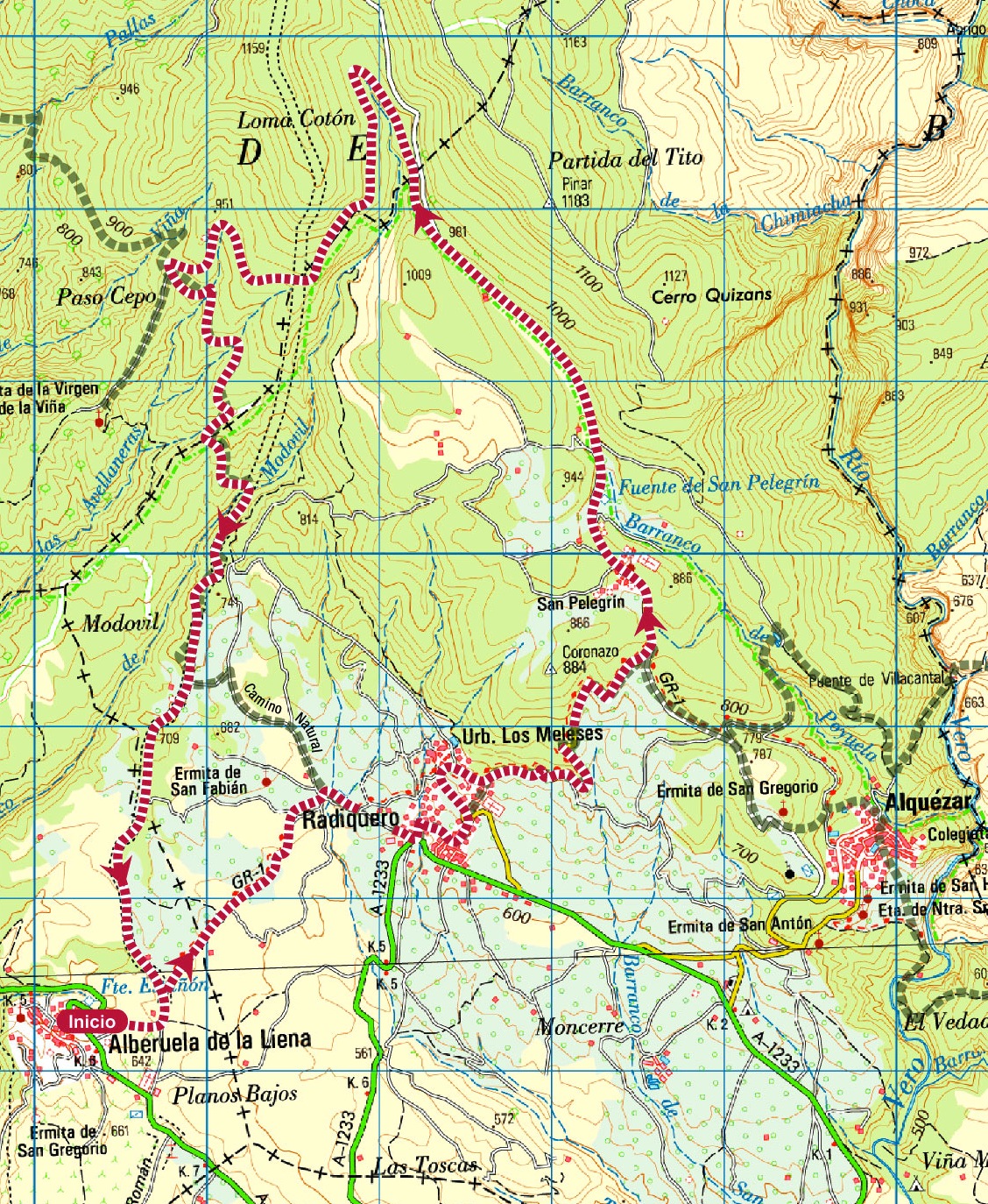
Itinerary: Alberuela de Laliena-Radiquero-San Pelegrín-Alberuela de Laliena
KM: 19,1
Duration: 3 h
Gradient: 535 m
Level:
Points of interest
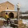
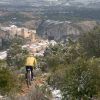
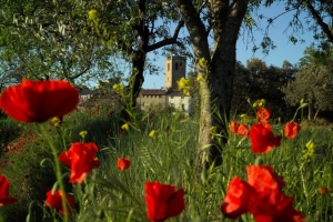
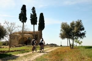
The village of San Pelegrín, the shrine of Virgen de Viña, the shrine of San Fabián and San Sebastián, panoramic views.
Route description
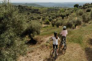
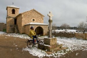
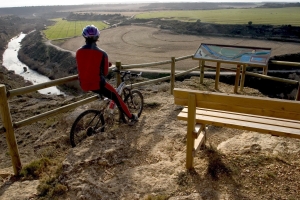
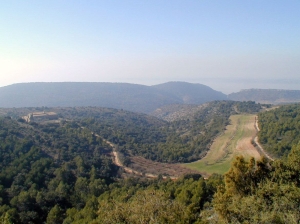
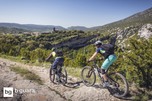
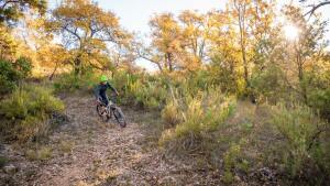
Starting in Alberuela de Laliena, the route runs along the old GR-1 hiking trail until it reaches the neighbouring village of Radiquero. From there it skirts the foot of an area of high ground known as O Coronazo and leads up to the small village of San Pelegrín, where several houses border a square overlooked by a stone cross.
The route continues to lead upwards, running along the old path to the Sevil refuge, at which point it drops down again to Alberuela de Laliena, partly following the trail herdsmen used to take in summertime when leading livestock to the high pasturelands of the Pyrenees.
The route was once frequented by shepherds, traders and wayfarers who used to bring down ice from the ice wells in summer, and also by local people as they flocked on pilgrimage to the nearby hermitage of La Viña.
Photo gallery
Location map
