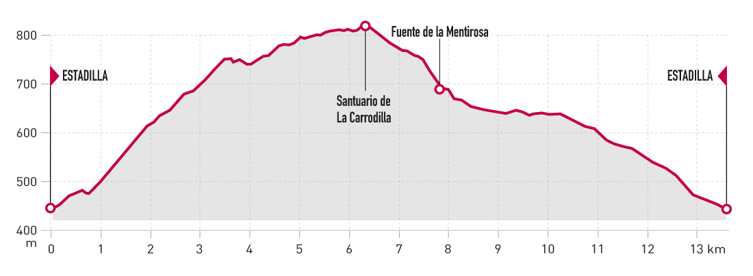
Technical Information
Type of route: circular
Departure point: Estadilla
KM: 13,5
Duration: 3 h 30 min
Gradient: 400 m
Difficulty:
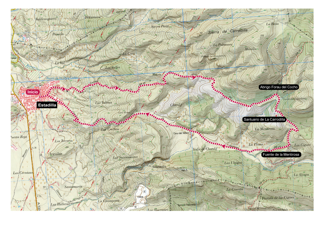
Points of interest
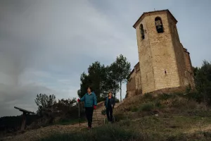
Sanctuary of la Carrodilla, shelter of Forau del cocho, fountain of La Mentirosa and panoramic views.
Route description
The ascent to the Sanctuary of la Carrodilla is a very popular excursion that can be done on foot, running or on mountain bike.
The suggested route for nordic walking ascends to the sanctuary along the Alins (or La Carrodilla) path, which is the steepest but has the best road surface. It then descends along the Calasanz path, which passes by the well-known Fuente Mentirosa (Lying Fountain).
The route runs entirely along forest tracks in good condition with several asphalted sections, so all you have to worry about is enjoying the surroundings and the rich heritage that surrounds the route. In addition to the impressive sanctuary, there is a monumental ice well, and the cave paintings of Abrigo Forau del Cocho nearby.
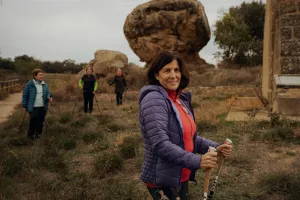
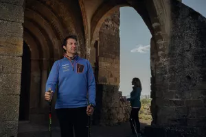
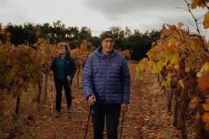
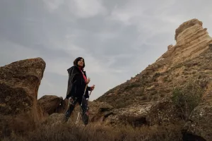
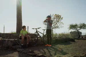
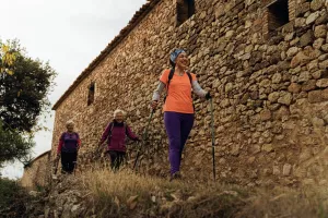
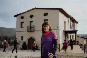
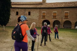
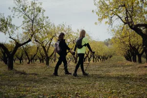
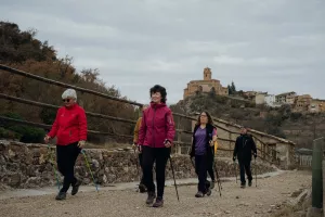
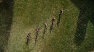
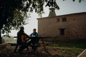
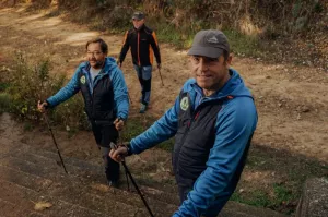
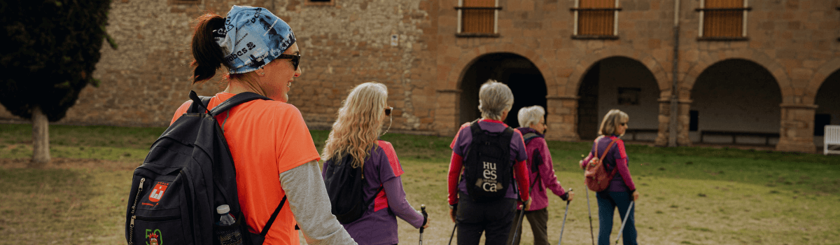
Photo Gallery


Map