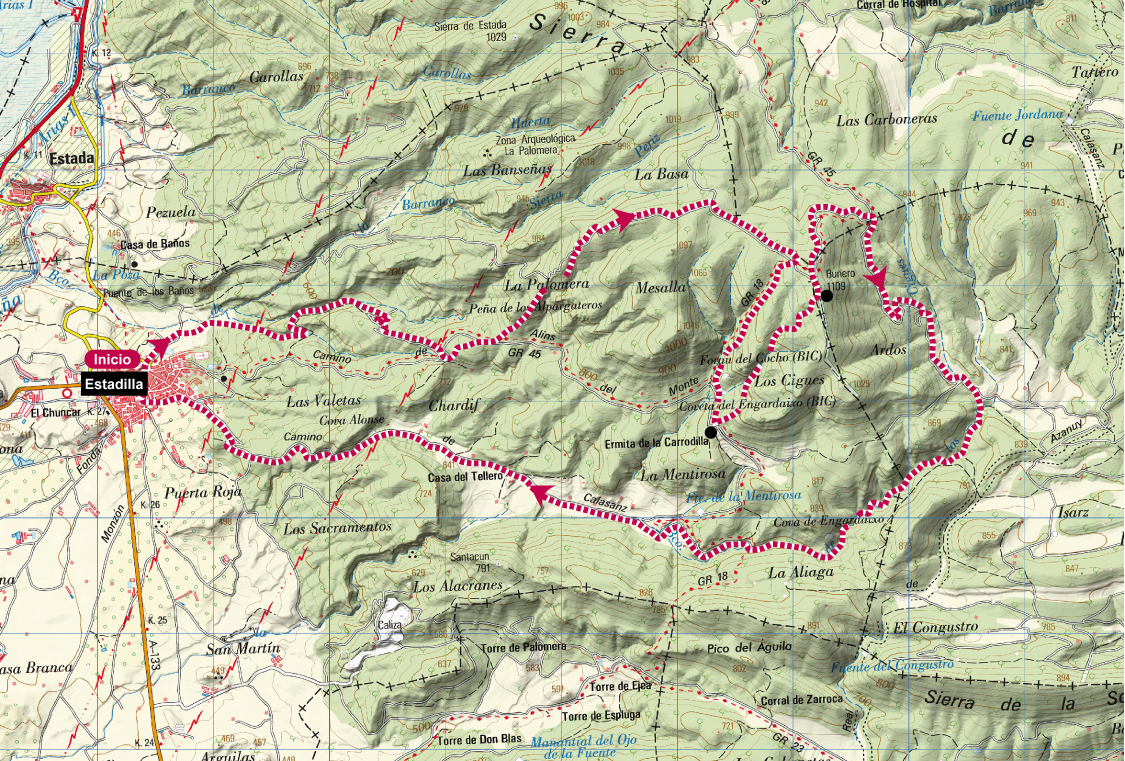
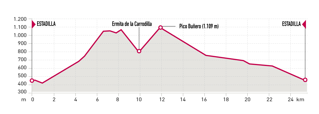
Technical information
Type of route: circular
Strating point: Estadilla
KM: 25,8
Duration: 3 - 5 horas
Gradient: 990 m
Difficulty:
Route description
This route matches the itinerary of Sierra de la Carrodilla Trail that has been held in Estadilla since 2014 having different itineraries every year.
We propose the 2016 edition circuit consisting of a demanding first section leading to Maroz ravine and «Peña de los Alpargateros» through a series of beautiful singletracks and descending from the top of the mountain towards Carrodilla sanctuary by GR 18 trail, where it ascents to Buñero peak (1109 m). The way back to Estadilla passes by the Mentirosa Fountain. This second section is less demanding and consists of a series of mainly descending unpaved roads with no steep climbs.
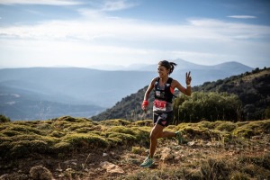
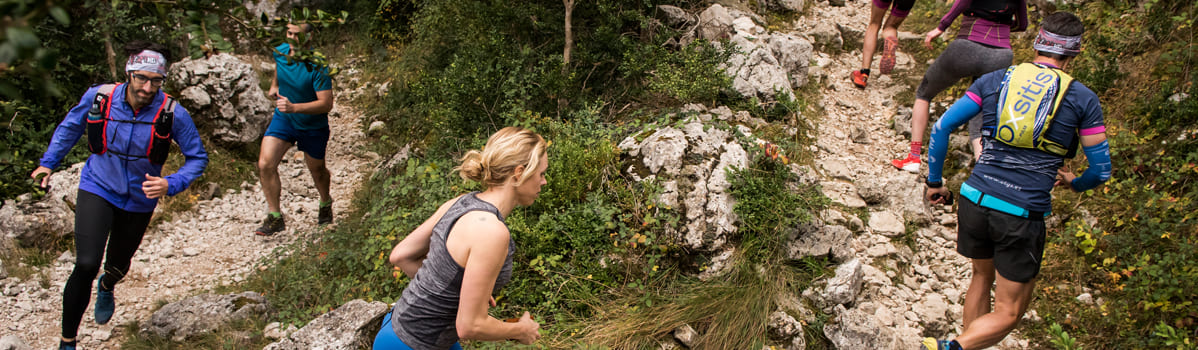
Photo gallery


Map