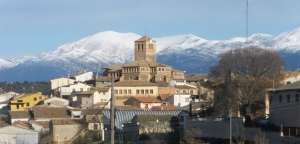
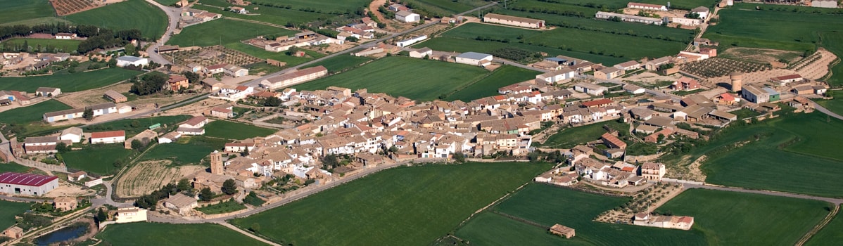
Laluenga - Rutas
Well-Springs route
Technical information
Type of route: circular/ Rally/ gravel
Itinerary: Laluenga-Lacuadrada-Lagunarrota-Laperdiguera-Laluenga
KM: 36
Duration: 3 h
Gradient: 425 m
Level:
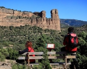
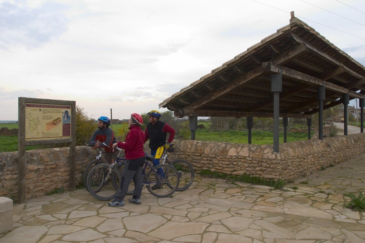
Points of interest
The well-springs of Laperdiguera, Lagunarrota and Laluenga where is possible to visit the Somontano spring wells visitor centre.
Route description
From Laluenga in the south of Somontano, the route runs into thefl atlands leading to Los Monegros to reveal another side to the Somotano region, a semi-desert landscape with gentle ridges, isolated low hills and solitary boulders, a landscape that was once covered with holm oaks. In the southernmost part savin and juniper bushes, gorse and aromatic plants have managed to withstand the harsh climate and establish themselves in the poor soil. Having once eked out a living through dryland farming, in recent years the local people have transformed the countryside by creating vast areas of irrigated land.
The nearby villages of Laluenga, Lagunarrota and Laperdiguera are home to a number of well-springs, which provided access to underground springs. The well-springs consisted of a shaft dug into the rock and featuring several galleries, the shaft being accessed by steps that were in part domed.
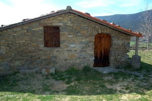
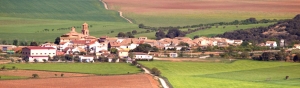
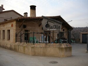
Photo gallery


Location map