Laperdiguera - Rutas
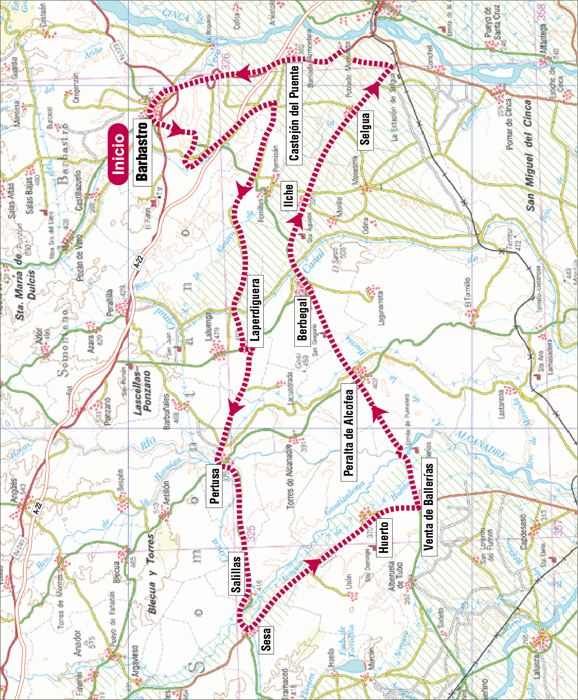
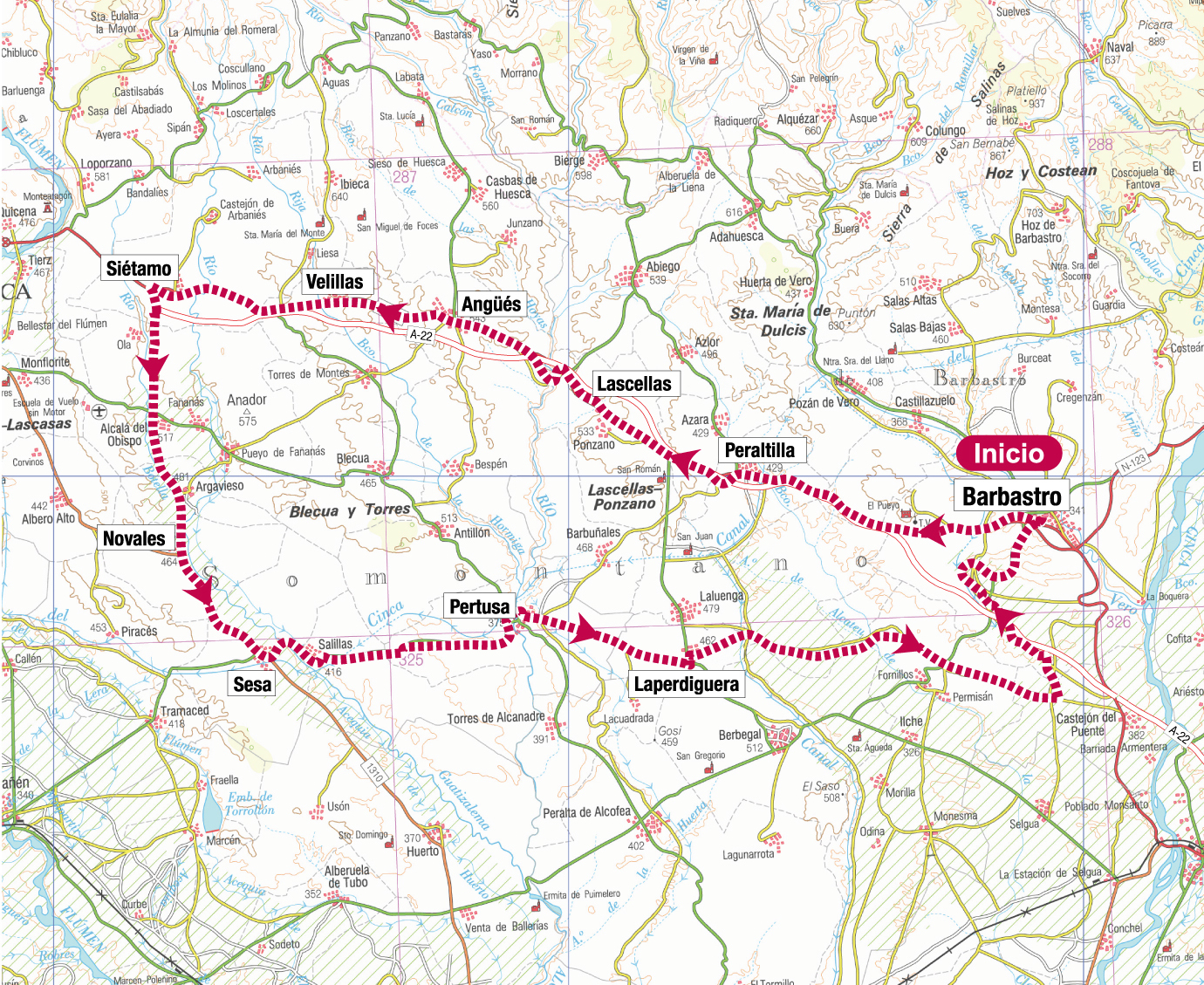
Route 02: Barbastro-Laperdiguera-Pertusa-Huerto-Berbegal-Castejón del Puente-Barbastro
Technical information
Type of route: circular
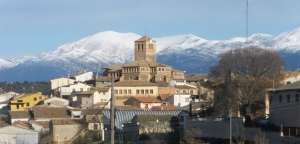
Departure point: Barbastro
KM: 111
Duration: 4,5 h
Gradient: 600 m
Difficulty:

Itinerary
Barbastro - Laperdiguera - Pertusa - Huerto - Berbegal - Castejón del Puente - Barbastro
Route description
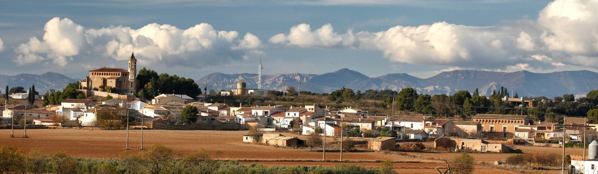
This track circulates through the regions of Somontano, Hoya de Huesca and Monegros, its surroundings are characterised by vast cultivated plains.
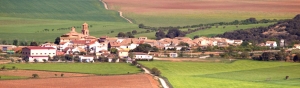
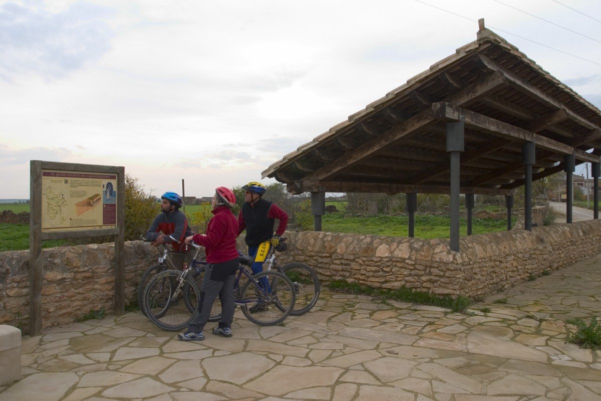
Departing from Barbastro, the capital of Somontano, the path heads toward Laperdiguera, where you can’t afford to miss its magnificent spring well. It then continues on towards Pertusa, a village where the Catalan branch of the St. James Way passes through. The next towns on the route are Salillas, Sesa and then Huerto, Venta de Ballerías and Peralta de Alcofea where one can admire the impressive Roman church’s portal, declared a historical and artistic monument. The track extends on to Berbegal, a magnificent lookout over Somontano and the Pyrenees Mountains and then finally on to the towns of Ilche, Selgua and Castejón del Puente from where we make our way back to Barbastro.
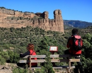
Photo gallery
Map
Route 01: Barbastro-Peraltilla-Siétamo-Sesa-Laperdiguera-Barbastro
Technical information
Type of route: circular
Departure point: Barbastro
KM: 103,2
Duration: 5 h
Gradient: 800 m
Difficulty:

Itinerary
Barbastro - Peraltilla - Siétamo - Sesa - Laperdiguera - Barbastro
Route description
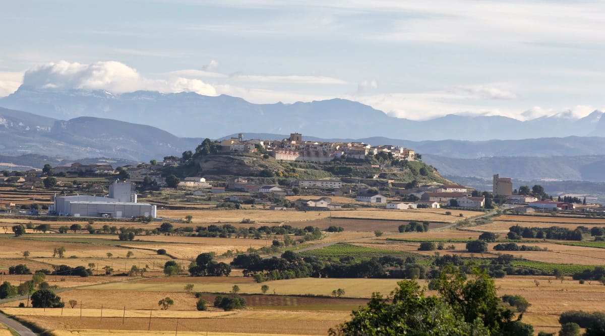
This trail circulates through the southern area of the Somontano and Hoya de Huesca region.
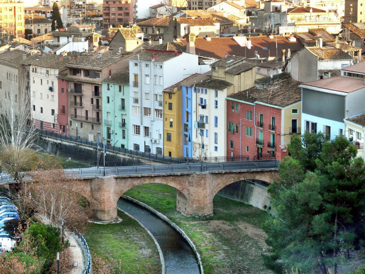
Setting off from the town of Barbastro, the itinerary fi rst takes us past Peraltilla, with its compact, traditional and modern town centre, and then off to Lascellas, famous for its clock tower factory. It continues on towards Angüés fi rst and then Siétamo, a village from Roman times. It later heads south to the towns of Novales, Sesa and Salillas, which are located on the river Guatizalema, then Pertusa, on the old path that used to link Osca and Ilerda and which still conserves vestiges of the Roman period. We then reach Laperdiguera, where one can see its spring well and the path then returns again to Barbastro, where it is highly recommended to visit all the historical sites there, such as the Cathedral, Diocesan Museum, Renaissance Palaces, Ensemble of Saint Julián and the Wine Centre.
Photo gallery
Map
Well-Springs route
Technical information
Type of route: circular/ Rally/ gravel
Itinerary: Laluenga-Lacuadrada-Lagunarrota-Laperdiguera-Laluenga
KM: 36
Duration: 3 h
Gradient: 425 m
Level:
Points of interest
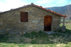
The well-springs of Laperdiguera, Lagunarrota and Laluenga where is possible to visit the Somontano spring wells visitor centre.
Route description
From Laluenga in the south of Somontano, the route runs into thefl atlands leading to Los Monegros to reveal another side to the Somotano region, a semi-desert landscape with gentle ridges, isolated low hills and solitary boulders, a landscape that was once covered with holm oaks. In the southernmost part savin and juniper bushes, gorse and aromatic plants have managed to withstand the harsh climate and establish themselves in the poor soil. Having once eked out a living through dryland farming, in recent years the local people have transformed the countryside by creating vast areas of irrigated land.
The nearby villages of Laluenga, Lagunarrota and Laperdiguera are home to a number of well-springs, which provided access to underground springs. The well-springs consisted of a shaft dug into the rock and featuring several galleries, the shaft being accessed by steps that were in part domed.
Photo gallery


Location map