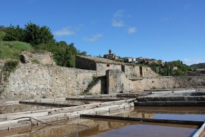
Ruta del Agua
Canyon fountain. Alquézar
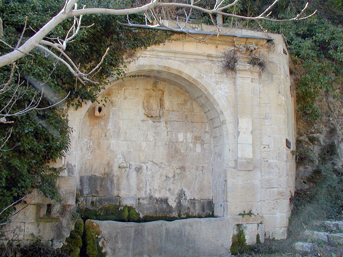
A footpath leaves from the Calle de la Iglesia and descends the narrow gorge know as the La Fuente Canyon down to the river. It takes its name from the pretty Renaissance bridge that was constructed in the 16th century, which boasts an impressive view of the rocky cliffs that rise up to the collegiate church.
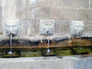
The public fountain, which was almost always located out of the village, was the urban element that received most attention from the municipal council. Its construction was a priority as soon as other basic needs had been covered, and was even deemed more important than the council building. On occasion, master fountain makers or sculptors were employed, or, as is the case here, a master stone mason was contracted. There is no doubting his skill or his knowledge of the classical tastes of the times.
Although the composition is fairly simple, Alquézar’s fountain was grander than the majority of those built in Somontano in that era, being more detailed in design and reflecting greater care in its construction.
The municipal crest that adorns the fountain indicates who financed the work and in which year.
There is a cross carved into one of the ashlars. It was common to find marks of this nature as they were believed to protect of all type of spring, well and fountain.


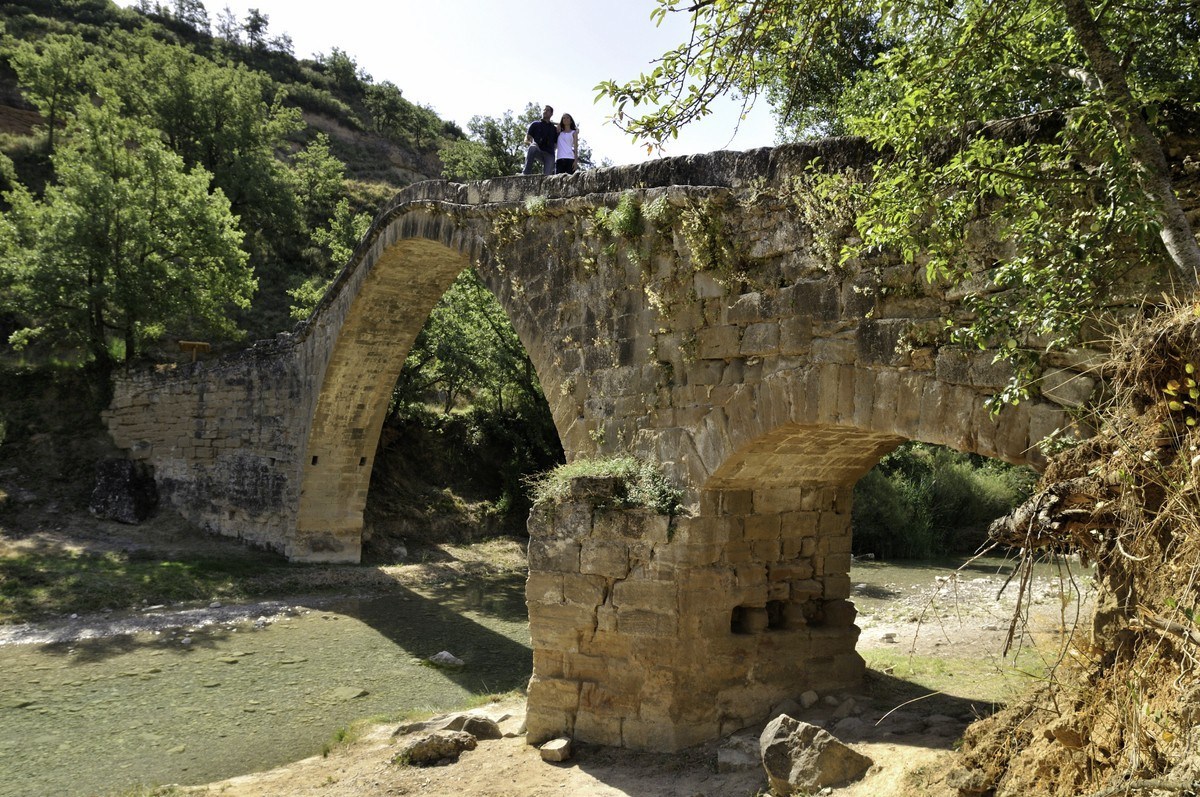
Devil´s Bridge. Asque
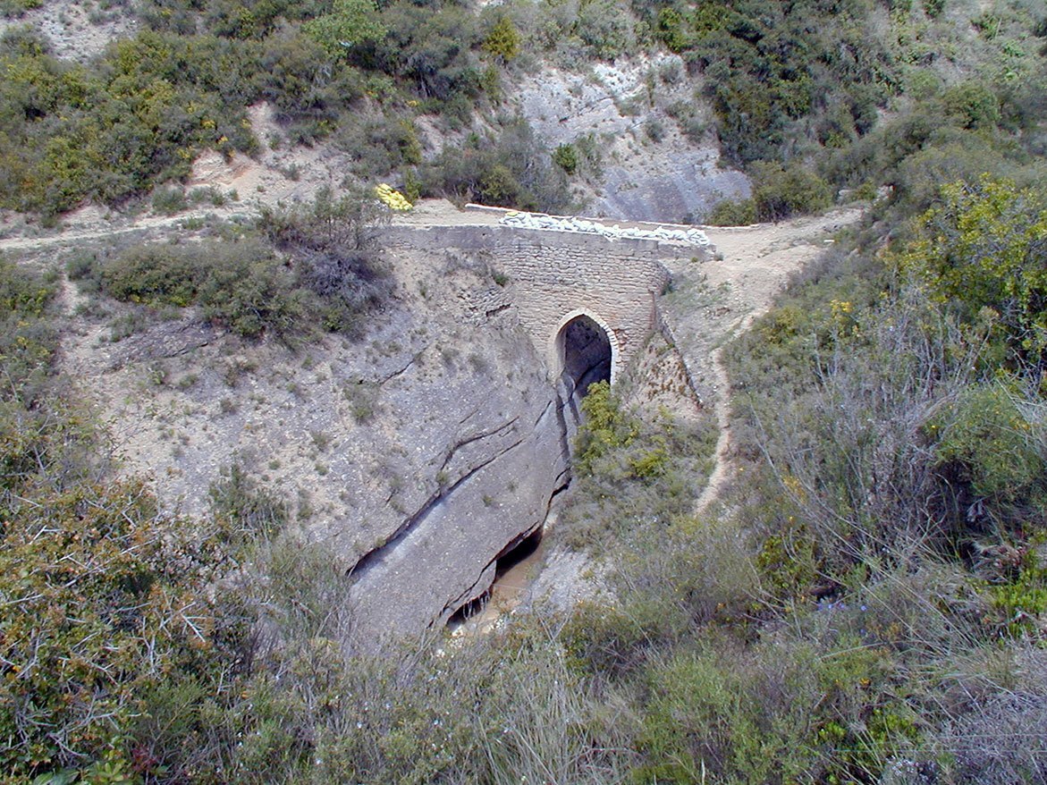
With foundations anchoring it to both sides of the Fornocal canyon, this bridge was built to connect the villages of Asque and Colungo. Its spectacular location highlights the risks and difficulties associated with its construction, and because of this many legends attribute it to the work of the Devil. However others explain that the name, “The Devil’s Bridge,” makes reference to the fact that the Devil passed over it while the mortar was still fresh and left his footprint to finish off the work. The footprint in question does not belong to a dog, deer or wild boar, so it must have been left by the devil. The question is, was he on his way from Colungo to Asque or Asque to Colungo?
The bridge is probably medieval in origin. Its deck is flat, almost 3 metres wide, and rests on a lancet arch made with small, perfectly made voussoirs. The rest of the construction is masonry. The pointed arch was a later addition as there are still remains of an older, semicircular arch. The unusual distance between the bridge’s parapet and the arch is explained by the fact that the facings have been renovated on several occasions.
Spring brings the arrival of a blanket of spectacular flowery stems that reach as high as 60 cm tall on the calcareous, conglomerate walls of the canyon. These flowers are known as the King’s Crown, Saxifraga longifolia, whose base rosette of leaves that give rise to the stem dies soon after flowering.


Ruta del Agua
De todos es sabido que el agua es fuente de vida y riqueza y de ello saben mucho los habitantes de Guara Somontano.
Con el objetivo de mejorar el aprovechamiento del agua para consumo de personas y animales, para riego de las huertas y campos o como fuente de energía para elaborar otras materias (harina, electricidad...) idearon una serie de construcciones como acequias, azudes, presas, centrales, molinos, aljibes, embalses, fuentes, norias, pantanos, puentes...
Aquí encontrarás una seleccion de las construcciones más destacadas vinculadas al mundo del agua.