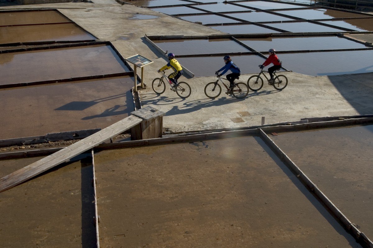
BTT
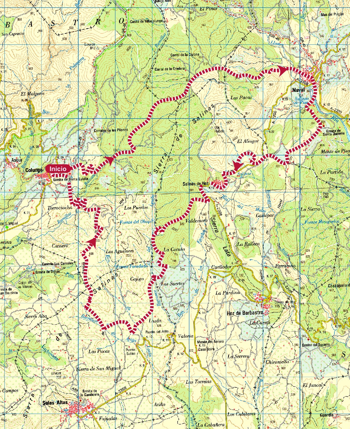
Sierra de Salinas route
Technical information
Type of route: circular/Rally
Itinerary: Colungo-Naval-Salinas de Hoz-Colungo
KM: 33,1
Duration: 4 h
Gradient: 1185 m
Level:
Points of interest
The shrine of Santa Eulalia, the Cave Art Visitor CentreArt Visitor Centre in Colungo, the salt beds of La Rolda, the Pottery Visitor Centre in Naval, vineyards and panoramic views.
Route decription
The range of hills owes its name to the many saltwater springs found there, springs that have been tapped by man for centuries. The inhabitants of Naval and Salinas de Hoz built a system of wooden channels to direct the water to shallow beds where the heat of the summer sun burned off the water to leave behind salt deposits.
The tradition has been kept alive over the centuries at La Rolda salt beds in Naval.
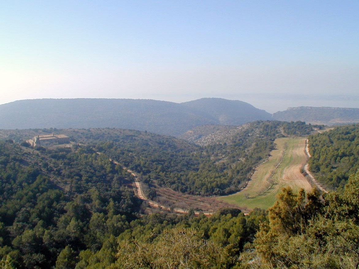
The foothills of the sierra are lined with small terraces where olives and almonds have been grown for years.
In recent times, large vineyards have been planted on the flat plain.
Photo gallery


Location map
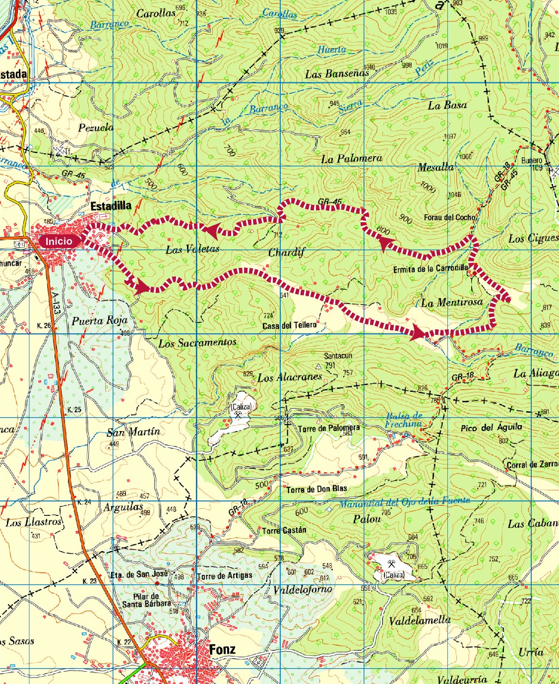
Sanctuary of la Carrodilla Route
Technical information
Type of route: circular/ Rally/Gravel
Itinerary: Estadilla-Santuario de la Carrodilla-Estadilla
KM: 13,5
Duration: 2 h
Gradient: 409 m
Level:
Points of interest
Sanctuary of la Carrodilla and Ice well
Route description
From more than twenty years, inthe spring there has been a popular mountain bike race up to the Sanctuary of La Carrodilla.
If you enjoy cycling and you would like to discover charming places, set off pedaling on this circular path. Because of its sign postings you can choose either the Calasanz path (through Mentirosa) or on the Alins path (La Carrodilla) to climb or descend.
And when you arrive at the end, get off your bike and visit the rich and diverse heritage of Estadilla. You´ll want to come back!
Alongside the Sanctuary of La Carrodilla, one can find the Chelo Well (Pozo del Chelo) in which snow was stored during the winter. It is made ofstone and lime mortar with a cylindrical floor. The structure is covered with a dome where there is a gap for filling with snow.
The monumental character of this well, a maximum of 9 metres high, demonstrates the skills and mastery of the stonemasons from the region.
This route can also be hiked in a day.
Photo gallery


Location map
MTB Routes
One of the funniest and sportiest ways to go all over Guara Somontano and to enjoy with contact of nature is the mountain bike.
If you like to pedal discovering the landscape and the cultures, enjoying the wildest surroundings as Sierra de Guara and other softer as the Southern Somantano and you like to discover new hideouts full of charm, in Guara Somontano you will find multiple options to practise mountain bike.
Several signalled routes for mountain bike come across a great part of Guara Somontano. Several routes with different difficulty exist depending on the cumulative elevation gain and the kilometres of the itinerary. All of them are double-way routes and are circular. Most of them are connected thus allowing going over long distances.

