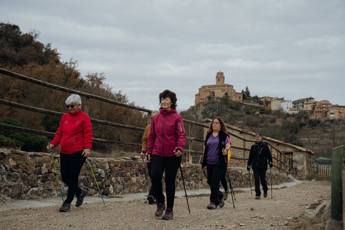
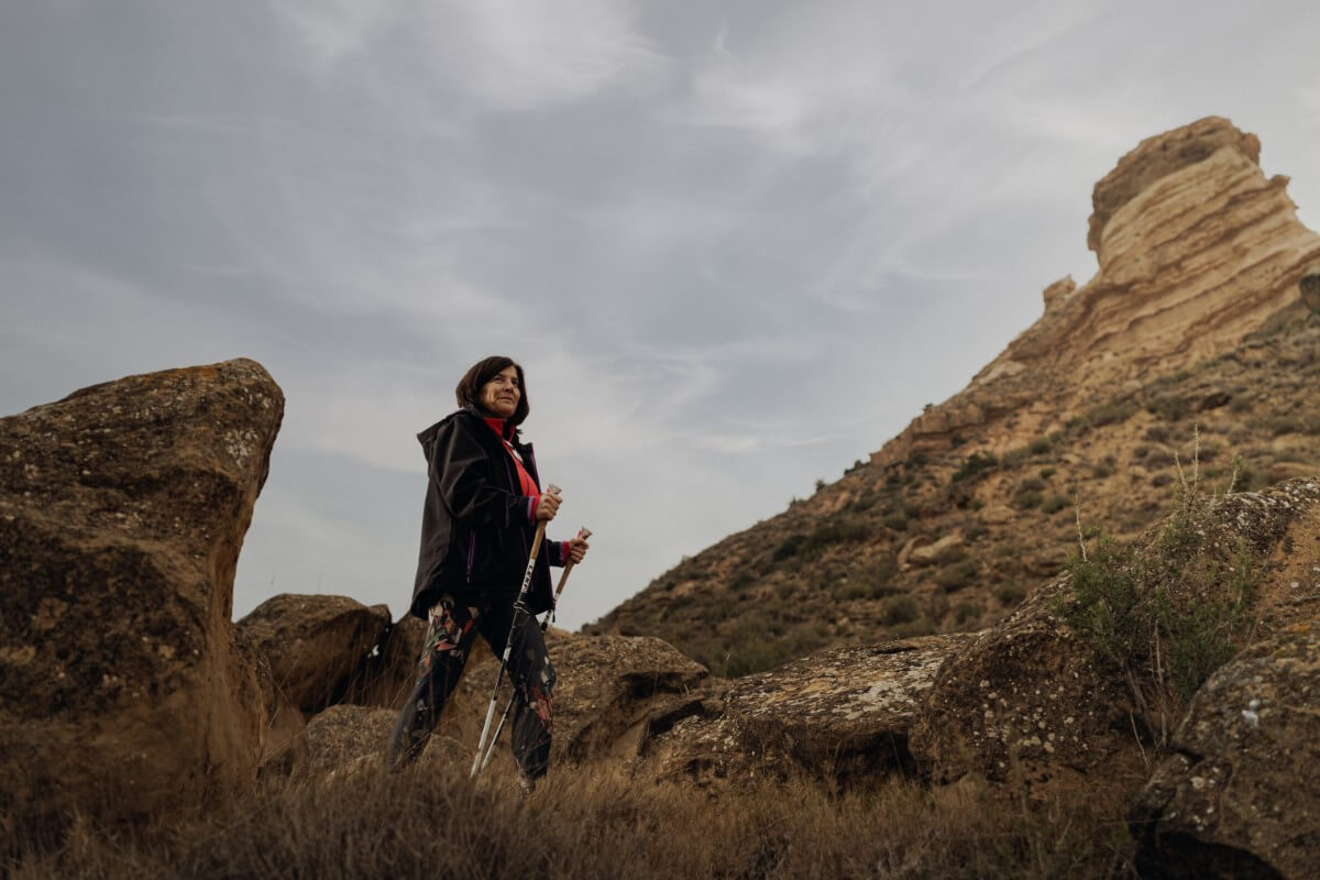
Marcha nórdica
Nordic walking
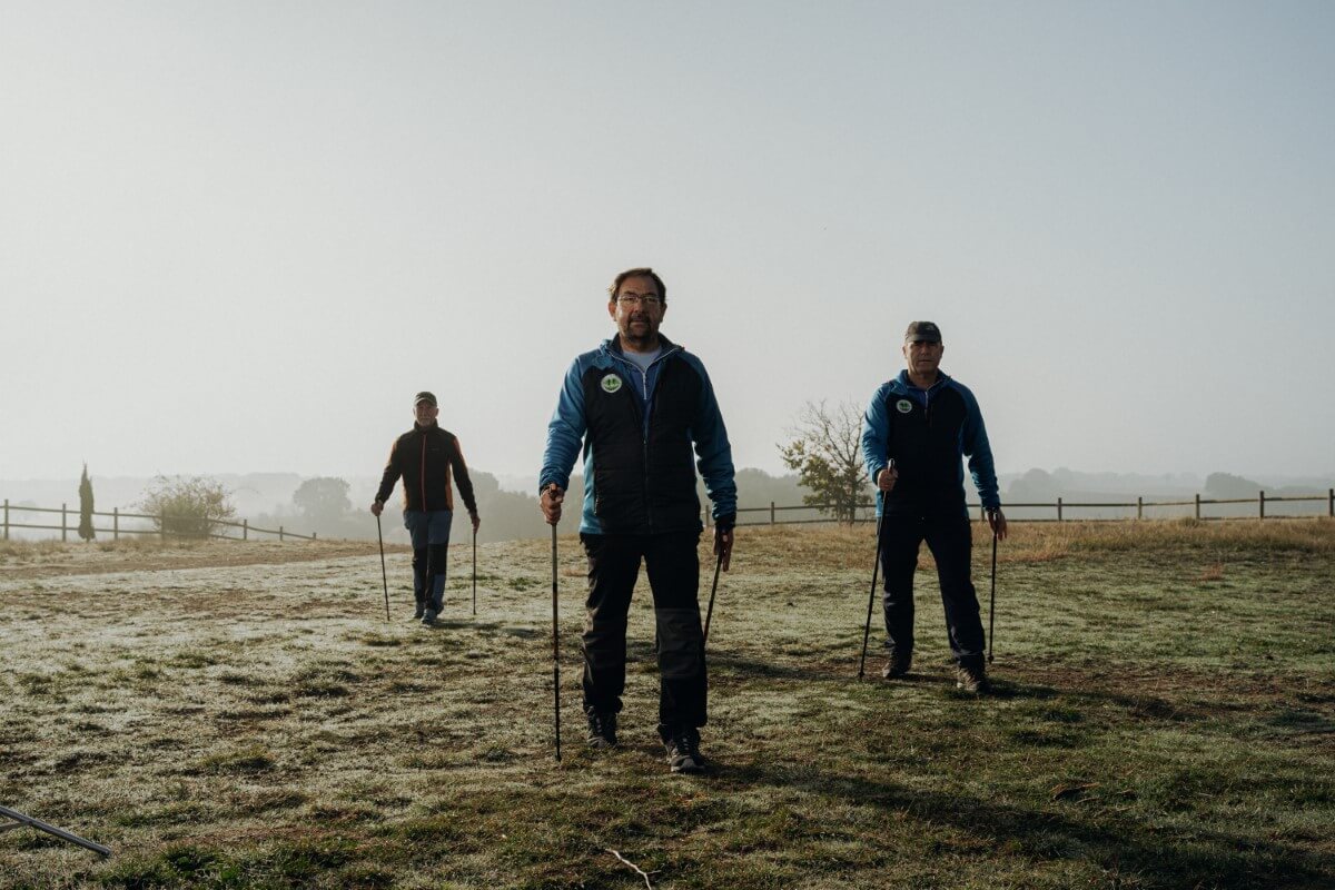
La marcha nórdica es el deporte perfecto.
Ayuda a contener el peso, alivia tensiones, combate problemas posturales y no provoca daños en las articulaciones, entre otros beneficios.
Es un ejercicio completo que si, además, lo practicas con amigos o en familia y en Guara Somontano, tienes asegurada una gran experiencia.
Solo necesitas unos bastones y zapatillas y descargarte toda la información de las nueve rutas que hemos planificado por toda la comarca, con diversas longitudes y niveles.
Además de practicar una actividad sana para tu cuerpo y mente, podrás conocer algunos de los paisajes más singulares de Guara Somontano, con espacios de gran interés natural y patrimonial.
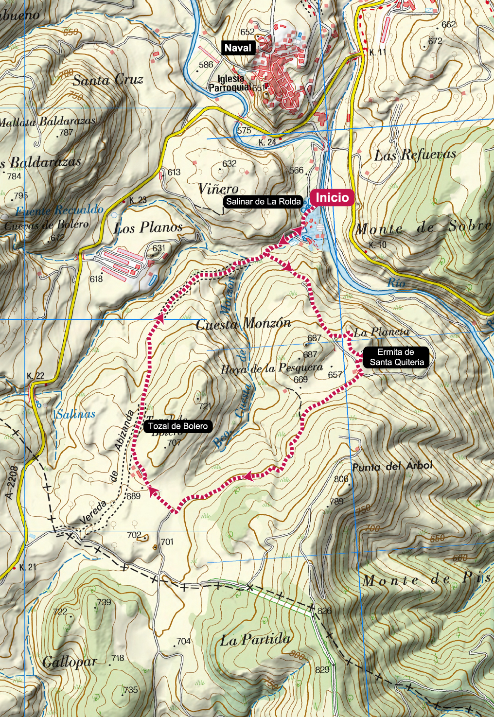
Naval salt marshes
Technical Information
Type of route circular
Departure point: Salinar de La Rolda. Naval
KM: 4,5
Duration: 1 h 15 min
Gradient: 150 m
Difficulty:
Points of interest
Naval, Salinar de La Rolda, hermitage of Santa Quiteria, panoramic views.
Route description
Naval is famous for its salt mines which, for almost 1000 years, have been exploited to produce this precious commodity, which during the Middle Ages was as valuable as petrol is today.
From the car park of the salt flats, we set off around the complex of recreational pools and salt production to head up a steep climb to the hermitage of Santa Quiteria. From there the route descends along a short stretch of path to the track from which we had turned off shortly before, and continues on the circular route around the Tozal de Bolero. On reaching the Vereda de Abizanda the route descends rapidly until it returns to the salt flats from where we started.
It is a short route with a certain slope that will require adapting the pace of the ascent and descent.
Photo Gallery


Map
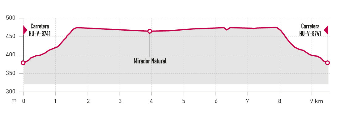
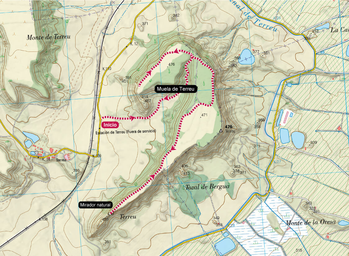
The Muela de Terreu
Technical Information
Type of route: circular
Departure point: Terreu - Ctra. HU-V-8741 PK 12,9
KM: 9,5
Duration: 2 h 15 min
Gradient: 110 m
Difficulty:

Points of interest
Panoramic views and geological formation Muela de Terreu.
Route description
Located between the rivers Alcanadre and Cinca, the Muela de Terreu is a high plateau with sandstone walls and cliffs, as well as with spectacular panoramic views of the surrounding area.
Access to the starting point of the route is via the HUV-8741 road from El Tormillo to Ilche. At KP 12.9 you can park and start the route from there. The route climbs up to the Muela de Terreu on a track in good condition, and upon reaching the mountain top you’ll find two paths: the first to a viewpoint located on the south-facing part of the mountain, the second to the north.
The route is entirely on tracks between the fields that used to crown the plateau.
Photo gallery
Map
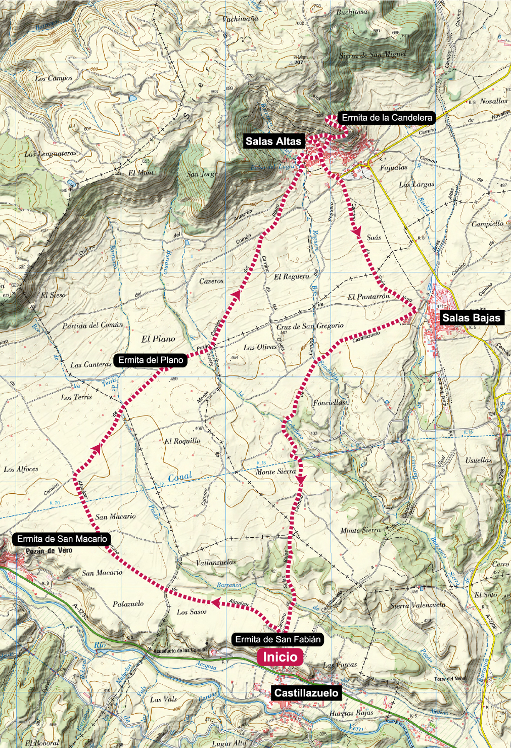
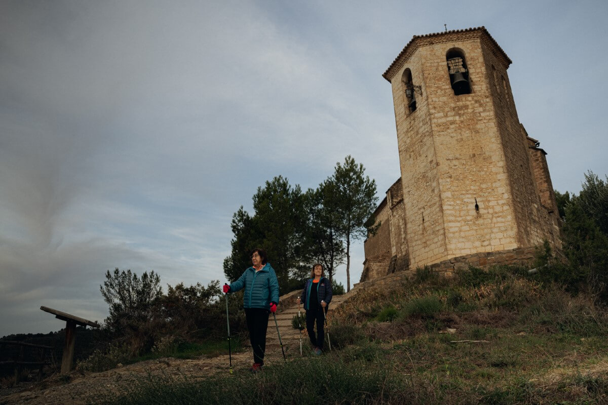
Hermitages of the Flatlands
Technical Information
Type of route: circular
Departure point: Ermita de San Fabián. Castillazuelo
KM: 14,6
Duration: 3 h 25 min
Gradient: 230 m
Difficulty:
Points of interest
Hermitages of San Fabián, San Marcario, del Plano and de la Candelera.
Route description
Between the Sierra de Salinas and the course of the river Vero there is a large plain completely covered by fields of vineyards and cereal crops. There are many hermitages in this area and thanks to this route we will be able to visit a good number of them.
Starting from the cemetery of Castillazuelo, where the hermitage of San Fabián is located, the route follows a comfortable track, sometimes even asphalted, across the plain between Pozán de Vero and Salas Altas, passing by the hermitages of San Macario and El Plano. In Salas Altas we climb up to the hermitage of Candelera, the highest point of theroute, and then descend, first to Salas Bajas and then to Castillazuelo.
Photo gallery
Map