Technical information
Type of route: circular/ Rally/ Gravel
Itinerary: Buera - Colungo
KM: 18,5
Duration: 2 h
Gradient: 356 m
Level:
Points of interest
The sanctuary of Santa María de Dulcis (Buera) and the Cave Art Visitor Centre in Colungo.
Route description
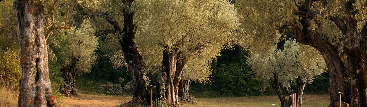
Buera sits on fl at land some 522 metres above sea level. Its inhabitants have traditionally made a living growing cereal crops, almonds, vines and olives. The Buera olive mill (a museum dedicated to Somontano olive oil) brings the ancient trades of the past vividly to life.
The route begins in Buera before crossing what is known as the Pozo ravine, where snow and ice was once collected to then be stored at the nearby D’os Moros ice well. The ice was used to preserve food and for therapeutic purposes. This large circular construction is covered by a beautiful dome made entirely of stone and half buried beneath the ground.
Further on lies the 12th-century sanctuar y of the Virgen de Dulcis, an area where riders can rest in the shade, take on water and pick up information on the area. The route links up a little later with the old hiking trail that leads to the nearby village of Colungo, at which point it turns and runs along the foothills of the Sierra de Salinas back to Buera.
Photo gallery


Location map