Viajeros del tiempo
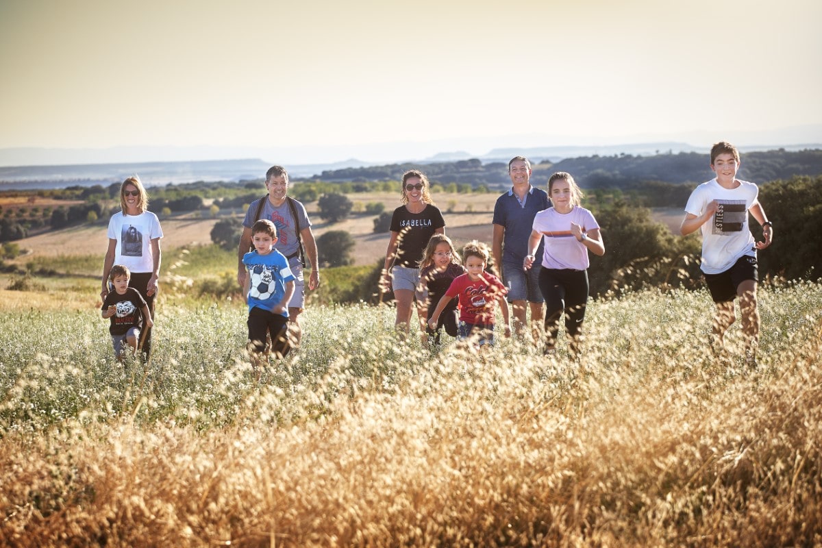
Walking tours
As the most IMPORTANT thing is your SAFETY, before setting off on any EXCURSION we recommend you follow the directions given by Montaña Segura.
You can also get information and download some basic environmental recommendations for hiking in the Sustainable Somontano section.
Trail to the Balsas de Basacol (from Alquézar)
- Theme: Culture – Nature
- Visit type: Free
- Time of year: All year round
- Recommended age: From 4 years of age
- Municipality: Alquézar
- Location: Alquézar
- GPS Location: 42.172089, 0.022404 (Route start)
- Web: It is part of Stage 1: Somontano Nature Route
- Route length: 6 km round trip
- Duration of the trail: 2 h 30 m round trip
- Services: Parking – Interpretive panel – Picnic area
- Adapted: No
- Recommendations: Carry water – Mountain footwear
Trail to the Villacantal Bridge (from Alquézar)
- Theme: Culture – Nature
- Visit type: Free
- Time of year: All year round
- Recommended age: From 4 years of age
- Municipality: Alquézar
- Location: Alquézar
- GPS Location: 42.174362, 0.025322 (Route start)
- Web: It is part of Stage 1: Somontano Nature Route
- Route length: 4 km round trip
- Duration of the trail: 2 h round trip.
- Services: Interpretive panel
- Adapted: No
- Recommendations: Carry water – Mountain footwear
- Theme: Culture – Nature
- Visit type: Free
- Time of year: All year round
- Recommended age: From 3 years of age
- Municipality: Naval
- Location: Naval
- GPS Location: 42.194507, 0.150874 (Route start)
- Web: Camino de la Sal trail
- Route length: 2 km 700 m round trip
- Duration of the trail: 1h round trip.
- Services: Parking – Interpretive panel – Picnic area
- Adapted: No
- Recommendations: Carry water – Suitable footwear
Trail to the cave art shelter in Forau del Cocho
- Theme: Culture – Nature
- Visit type: Free
- Time of year: All year round
- Recommended age: From 5 years of age
- Municipality: Estadilla
- Location: Estadilla
- GPS Location:
- Start of the trail next to the Shrine Santuario de la Carrodilla: 42.052063, 0.302232
- Cave art shelter in Forau del Cocho: 42.055660, 0.305373
- Web: Trail to the cave art shelter in Forau del Cocho
- Route length: In Estadilla, you must take the unpaved track that leads to the Shrine Santuario de la Carrodilla. The whole journey can be done by car. Shortly before arriving at the Shrine, you will find the starting point of the trail. It’s an 850-metre walk to reach it.
- Duration of the trail: 15 min. going from the Sanctuary of the Carrodilla
- Services: Parking – Interpretive panel – Picnic area
- Adapted: No
- Recommendations: Carry water – Suitable footwear
Discovering hidden spots

- Theme: Culture
- Visit type: Free
- Time of year: All year round
- Recommended age: All ages
- Municipality: Santa María de Dulcis
- Location: Buera
- GPS Location: 42.148865, 0.059285
- Web: Dulcis Shrine
- Services: Parking – Entertainment area – Interpretive panel
- Adapted: Partially. It can be reached by car
Romanesque Hermitage of Treviño
- Theme: Culture
- Visit type: Free
- Time of year: All year round
- Recommended age: All ages
- Municipality: Adahuaesca
- Location: Adahuesca
- GPS Location: 42.134017, -0.008140
- Web: Romanesque Hermitage of Treviño
- Services: Parking – Interpretive panel
- Adapted: It can be reached by car
- Theme: Culture
- Visit type: Free
- Time of year: All year round
- Recommended age: All ages
- Municipality: Abiego
- Location: Abiego
- GPS Location: 42.107948, -0.065850
- Web: Monument to the 20th Century
- Services: Parking
- Adapted: It can be reached by car
Moorish Fountain and Washing Area
- Theme: Culture
- Visit type: Free
- Time of year: All year round
- Recommended age: All ages
- Municipality: Azlor
- Location: Azlor
- GPS Location: 42.105806, -0.051708
- Web: Moorish Fountain and Washing Area
- Services: Interpretive panel
- Adapted: It can be reached by car
Salinar de Naval (salt bathing pools)
- Theme: Culture
- Visit type: Free
- Time of year: Summer
- Recommended age: All ages
- Municipality: Naval
- Location: Naval
- GPS Location: 42.188219, 0.152998
- Web: Salinar de Naval (salt bathing pools)
- Services: Parking – Interpretive panel – Entertainment area
- Adapted: Partially
Trenches of Somontano

Trench of Castejón del Puente
- Theme: Culture
- Visit type: Free
- Time of year: All year round
- Recommended age: All ages
- Municipality: Castejón del Puente
- Location: Castejón del Puente
- GPS Location: 41.956316, 0.162099
- Web: Trench of Castejón del Puente
- Services: Interpretive panel
- Adapted: No
Trench of Naval and Pisa Viewpoint
- Theme: Culture – Nature
- Visit type: Free
- Time of year: All year round
- Recommended age: All ages
- Municipality: Naval
- Location: Naval
- GPS Location: 42.188775, 0.153298 (Route start in Salinar de la Rolda in Naval)
- Web: Trench of Naval and Pisa Viewpoint
- Route length: 5 km 600 m round trip
- Duration of the trail: 2 h round trip.
- Services: Interpretive panel
- Adapted: No
From bridge to bridge

Pedruel Bridge
- Theme: Culture – Nature
- Visit type: Free
- Time of year: All year round
- Recommended age: All ages
- Municipality: Bierge
- Location: Pedruel
- GPS Location: 42.270500, -0.080861
- Web: Pedruel Bridge
- Services: Parking – Interpretive panel
- Adapted: It can be reached by car
Albarda Bridge
- Theme: Culture – Nature
- Visit type: Free
- Time of year: All year round
- Recommended age: All ages
- Municipality: Alquézar
- GPS Location: 42.149592, 0.028322
- Web: Albarda Bridge
- Services: Interpretive panel
- Adapted: It can be reached by car
Devil's Bridge in Colungo - Asque
- Theme: Culture – Nature
- Visit type: Free
- Time of year: All year round
- Recommended age: From 3 years of age
- Municipality: Colungo
- GPS Location: 42.173401, 0.057194
- Web: Devil's Bridge
- Route length: 2 km leaving from Colungo; 700 m leaving from Asque
- Duration of the trail: 30 m one way from colungo; 20 one way from Asque
- Services: Interpretive panel
- Adapted: No
Devil's Bridges and the Sierra in the Olvena Canyon
- Theme: Culture – Nature
- Visit type: Free
- Time of year: All year round
- Recommended age: All ages
- Municipality:Olvena
- GPS Location:
- Devil’s Bridge 42.100207, 0.247859
- Sierra’s Bridge 42.105696, 0.262847
- Web: Olvena's Bridges
- Adapted:
- The Puente del Diablo can be reached by car
- Access to Puente de la Sierra is not adapted.