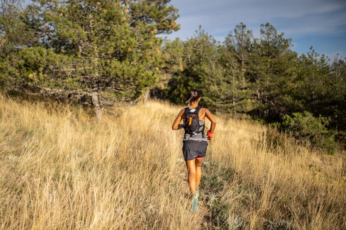
Trail Running
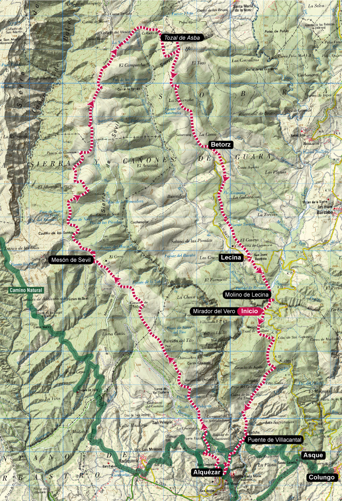
Prehistoric Mysteries Trail
Technical information
Type of route: circular
Starting point: Mirador del Vero. Carretera A-2205
KM: 39,5
Duration: 6 - 10 horas
Gradient: 1560 m
Difficulty: +
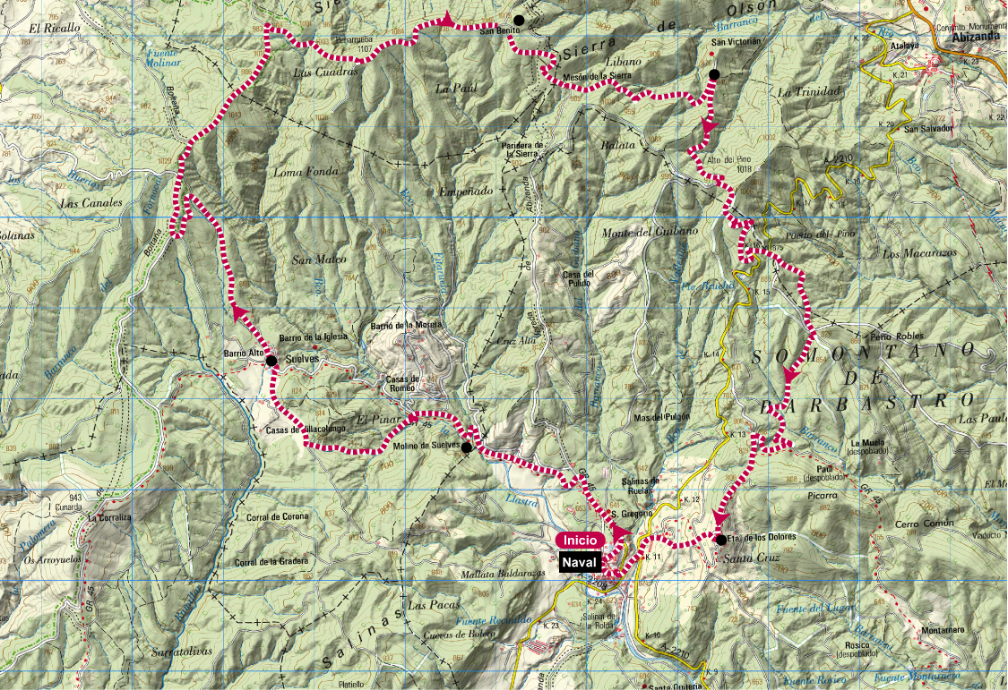
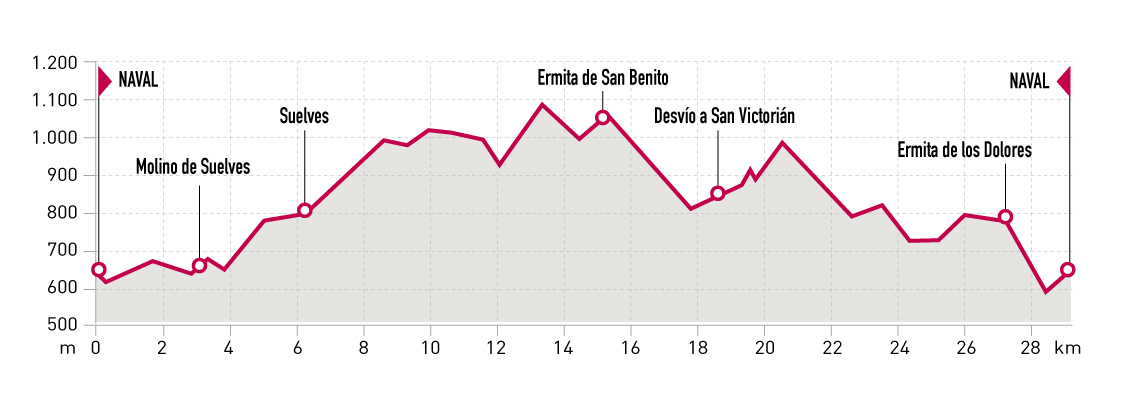
Route description
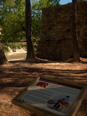
This challenging route requires to be in very good shape and to have a wide experience in mountain running. It’s mandatory to bring proper clothing and abundant food and water, as you’ll only fi nd water fountains in the few villages you’ll pass by. It’s very advisable to do the route with more people or with some external support during the itinerary.
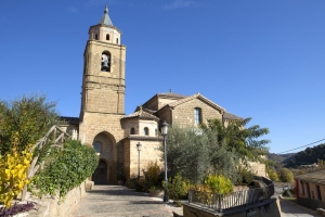
The route passes by some of the major landmarks of Rio Vero Cave Art, declared World Heritage Site by UNESCO. From the Vero Viewpoint parking lot, the trail heads to Alquézar crossing Lumos ravine and Villacantal bridge. From there, a very long ascent begins, following forest roads and rocky paths. After passing by Basacol pools and Mesón de Sevil, the route eventually reaches Tozal de Asba, the higher point of the itinerary. Next, the track goes down by a forest road to Betorz and then by an ancient path to Lecina and the Vero Viewpoint.
Photo gallery


Map
Somontano Vineyards Trail. Salas Altas
Technical information
Type of route: circular
Starting point: Salas Altas
KM: 31,6
Duration: 4 - 6 horas
Gradient: 560 m
Difficulty:
Route description
This is a pure Somontano style route, with crop fi elds, vineyards and the Vero riverside woods. It’s a nice combination for a trail that will allow the runners to squeeze themselves to reach race paces more tipical of urban routes, even with its almost 600 m of elevation gain. Special attention must be paid to the GPS device as there are plenty of road diversions in the route.
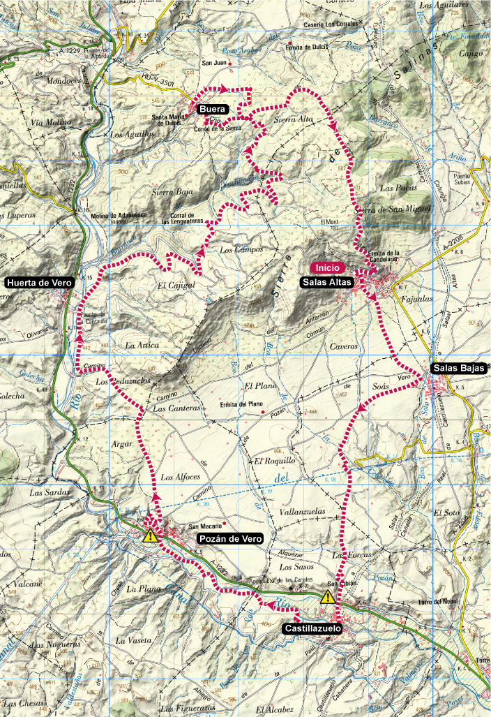
From Salas Altas the track goes down to Salas Bajas and Castillazuelo in south direction. Then continues by the Vero riverbank until Pozán de Vero, where a paved road will take us up to a big plateau of agricultural fi elds reaching Huerta de Vero and Buera. A small loop of the trail enables to visit Buera before returning to Salas Altas, where the route ends just after passing by the Candelera chapel.
Photo gallery
Map