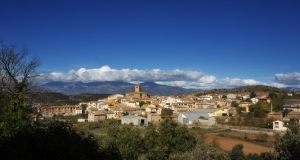
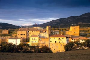
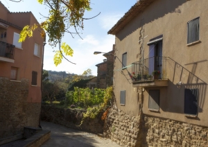
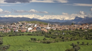
Salinas de Hoz - Rutas
Sierra de Salinas route
Technical information
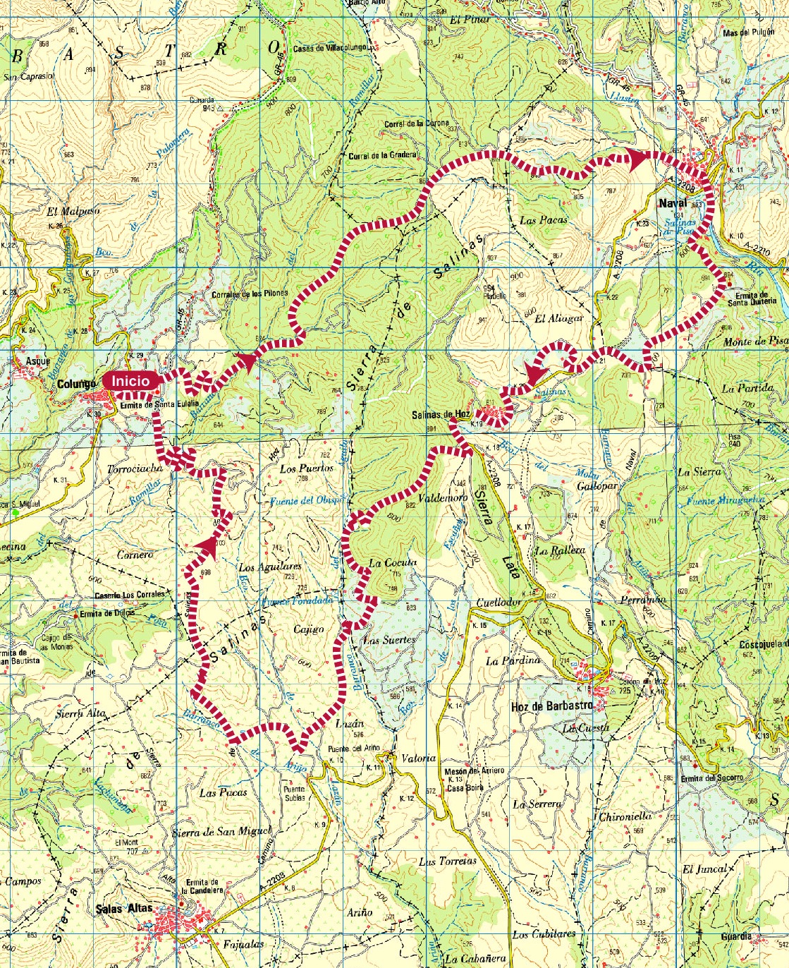
Type of route: circular/Rally
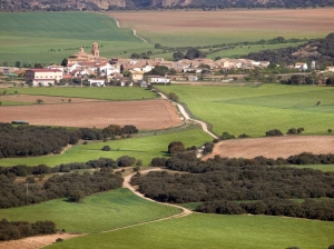
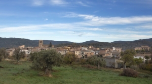
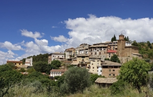
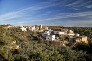
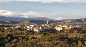
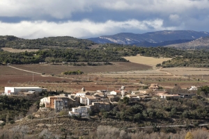
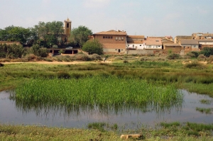
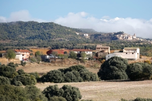
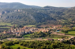
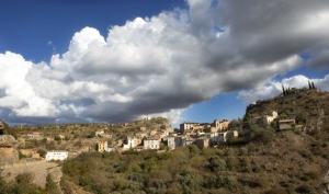
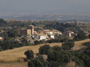
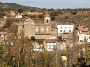
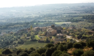
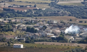
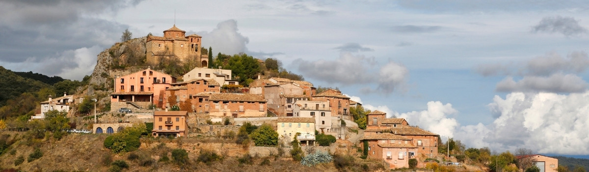
Itinerary: Colungo-Naval-Salinas de Hoz-Colungo
KM: 33,1
Duration: 4 h
Gradient: 1185 m
Level:
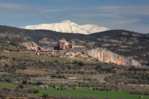
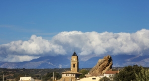
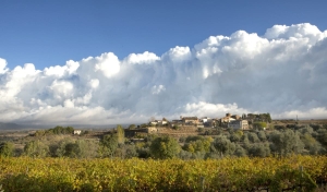
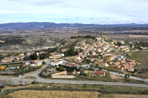
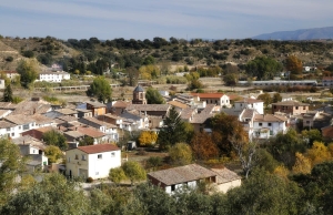
Points of interest
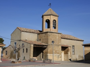
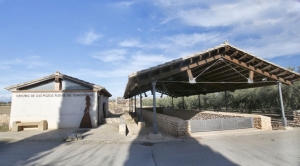
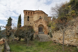
The shrine of Santa Eulalia, the Cave Art Visitor CentreArt Visitor Centre in Colungo, the salt beds of La Rolda, the Pottery Visitor Centre in Naval, vineyards and panoramic views.
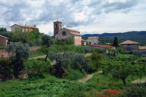
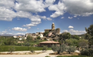
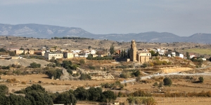
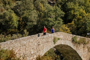
Route decription
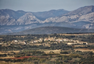
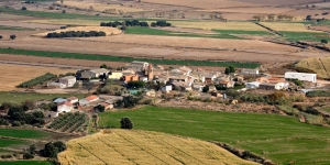
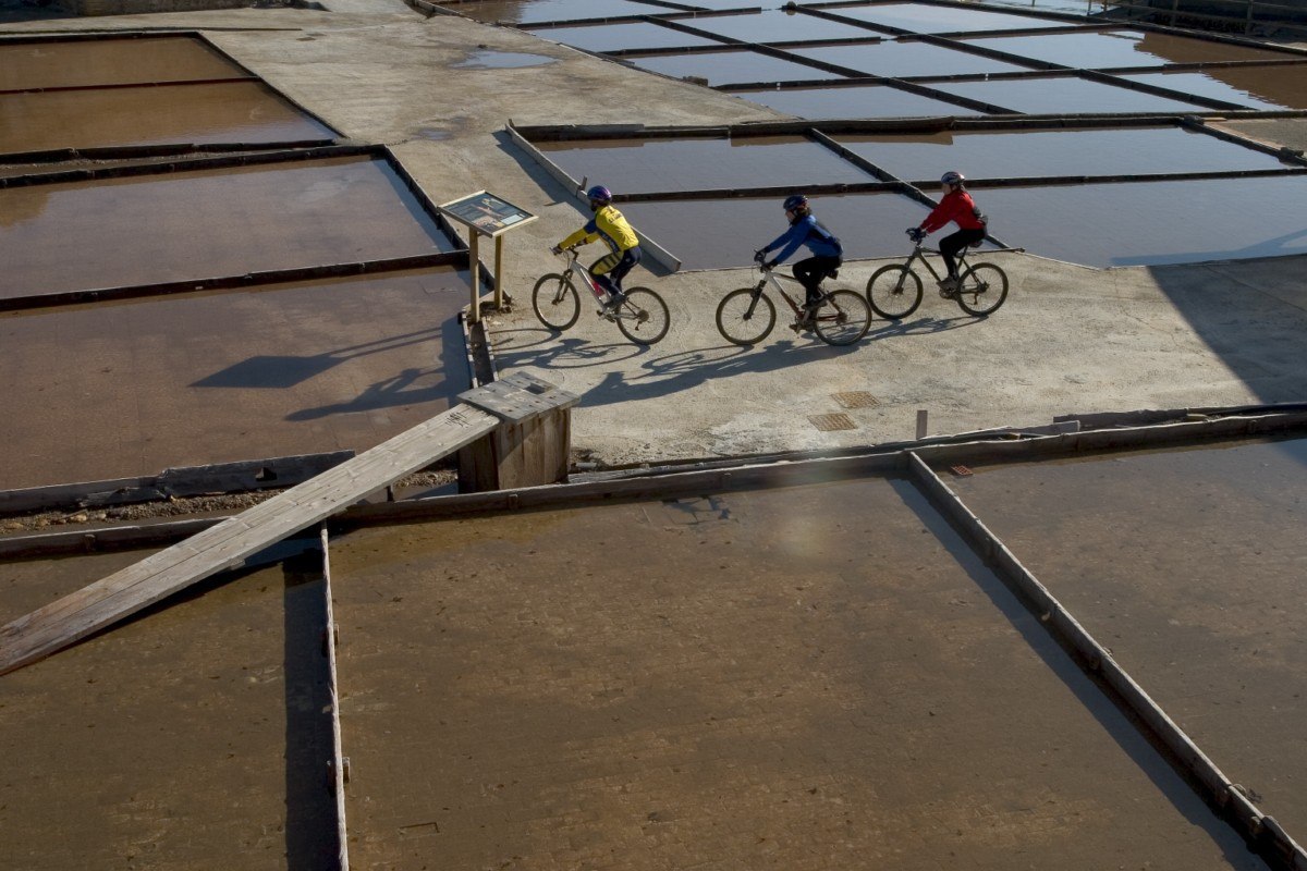
The range of hills owes its name to the many saltwater springs found there, springs that have been tapped by man for centuries. The inhabitants of Naval and Salinas de Hoz built a system of wooden channels to direct the water to shallow beds where the heat of the summer sun burned off the water to leave behind salt deposits.
The tradition has been kept alive over the centuries at La Rolda salt beds in Naval.
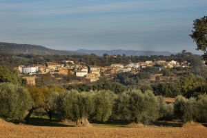
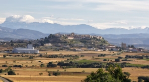
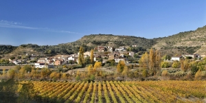
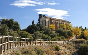
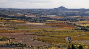
The foothills of the sierra are lined with small terraces where olives and almonds have been grown for years.
In recent times, large vineyards have been planted on the flat plain.
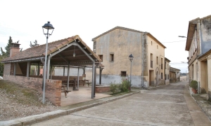
Photo gallery


Location map
Nature Observation Trails

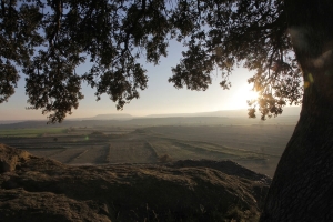
The Pre-Pyrenees (which constitute the outer ranges of the Pyrenees mountains) and the Somontano region (which lies in the foothills of the Pyrenees ) are the two geomorphic units that mark the transition between the Mediterranean and Atlantic climate zones. This implies the observation of a wide biodiversity of species both in terms of flora and fauna. You may come across species on the same excursion that are many kilometers apart in Europe, such as holm-oak groves (Quercus ilex) together with Scots pine forests (Pinus silvestrys), or rosemary (Rosmarinus oficinalis) together with Pyrenean-violets (Ramonda myconi).
The proposed trails will lead us through a contrast of landscapes, from the arid steppes of the south of the Somontano region to the rocky limestone peaks of the pre-Pyrenees, in less than 50 km. This will allow us to discover four different habitats including steppe, riverbank, the Somontano region, and the Pre-Pyrenees.
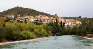
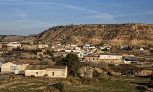
- Mediterranean Landscape. Adahuesca
- Harmony in the contrasts. Alquézar
- Oligocene Gypsums and the Barbastro Anticline. Barbastro
- The Estada Diapir. Estadilla - Estada
- Rocky outcrops, tabletop hills and sandstone cliffs in la Clamor Valley. El Tormillo
- Geobotanical Walk. Olvena
- The Orchid Garden. Pozán de Vero - Castillazuelo
- River Canyons in the Gulley of the Virgin. Rodellar
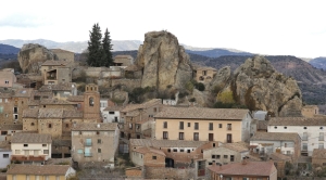
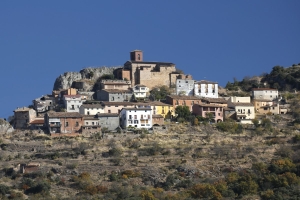
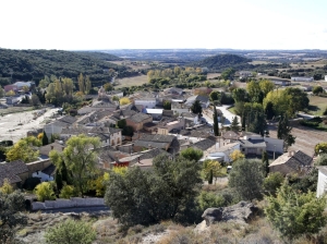
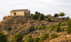
- Torreta Hill. Salinas de Hoz
Below, you can download our nature calendar which explains the species of flora and fauna that are common for each month the year.
Discover the landscapes of Guara Somontano 365 days a year!