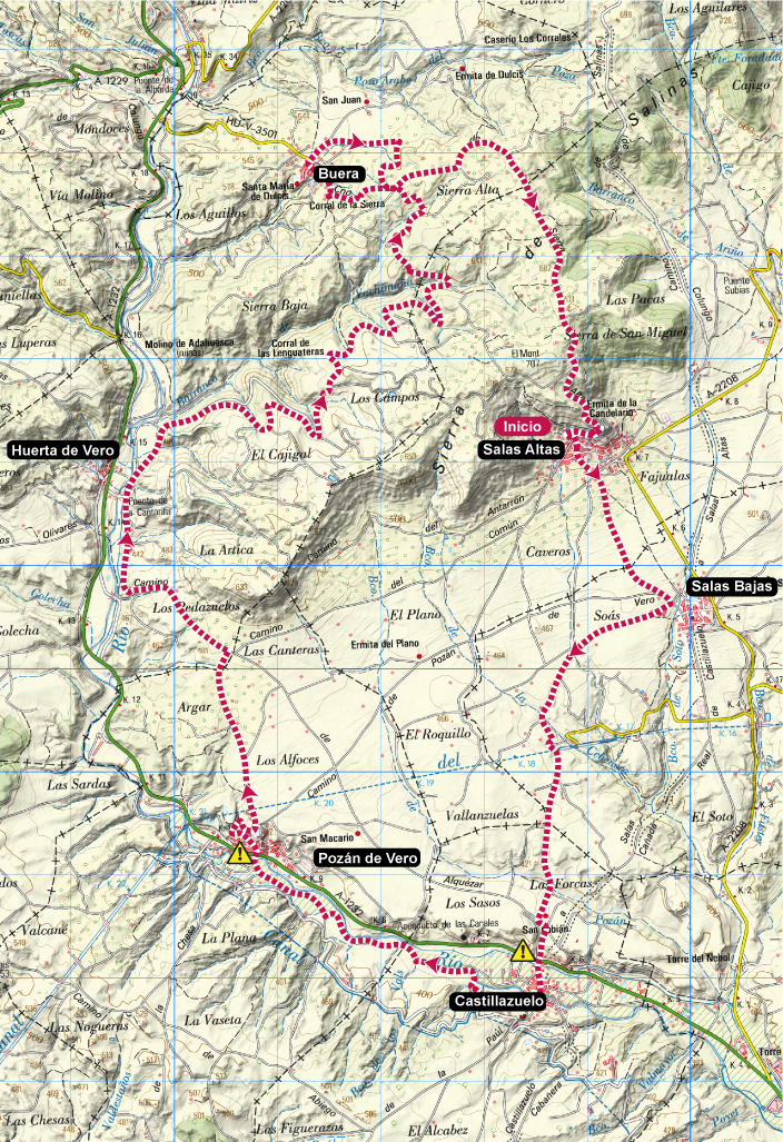
Technical information
Type of route: circular
Starting point: Salas Altas
KM: 31,6
Duration: 4 - 6 horas
Gradient: 560 m
Difficulty:
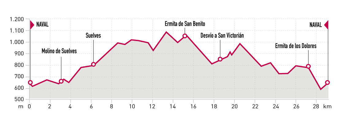
Route description
This is a pure Somontano style route, with crop fi elds, vineyards and the Vero riverside woods. It’s a nice combination for a trail that will allow the runners to squeeze themselves to reach race paces more tipical of urban routes, even with its almost 600 m of elevation gain. Special attention must be paid to the GPS device as there are plenty of road diversions in the route.
From Salas Altas the track goes down to Salas Bajas and Castillazuelo in south direction. Then continues by the Vero riverbank until Pozán de Vero, where a paved road will take us up to a big plateau of agricultural fi elds reaching Huerta de Vero and Buera. A small loop of the trail enables to visit Buera before returning to Salas Altas, where the route ends just after passing by the Candelera chapel.
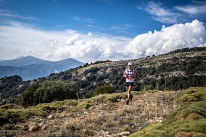
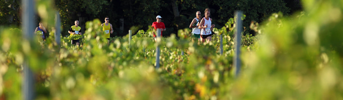
Photo gallery


Map