Huerta de Vero
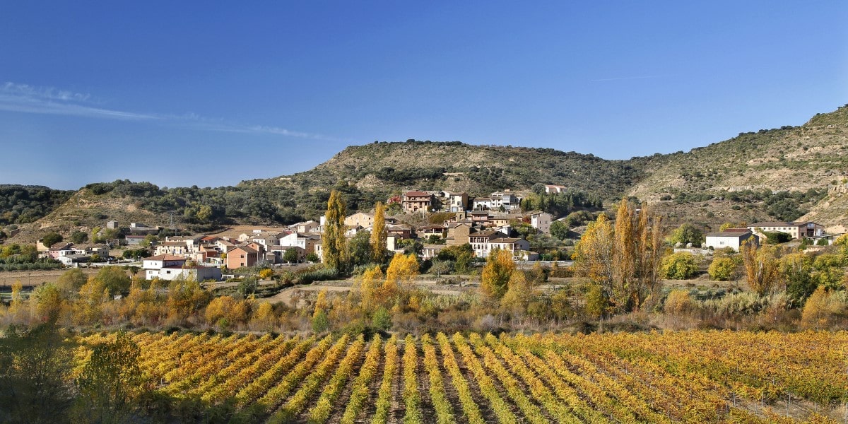
Huerta lies to the north of the Somontano region, in an area of such historical richness that it is considered by many to be an open air museum; the River Vero Natural Park. It is also within easy reach of the Sierra de Guara National Park.
Vegetable plots dotted with small houses are carefully tended by gardeners while the riverbanks hide vestiges of old mills and ancient bridges; just a few abandoned stones in some cases. The fountain highlights man’s intelligent use of water over the centuries.
Climbing up the hillside of San Pedro, the town of Huerta is a lush fertile place on the banks of the River Vero. Along the same riverside the scant remains of old mills and bridges lie sleeping.
The stone houses reflect the past lives of their inhabitants. They are simple functional buildings, perfectly adapted to the surroundings, to tradition and to the necessities of their builders. They have beautiful exteriors, some decorated with geometric signs, and others with pleasant paved patios. The solar symbols and four-petal roses sculpted on the keystones of the old doorways of the houses hide messages that have been lost in time.
Steep slopes and intimate streets dating from different eras, lead to the church. This Romanesque building was replaced in the 18th century with a completely restored model, rebuilt in the popular baroque style.
Night time bonfires accompany the fiestas of San Fabián and San Sebastián on the 20th of January. On the 15th of May, Huerta honours San Isidro with the preparation of a huge pot of beans. The pilgrimage to Santa María de Dulcis also takes place in May. The cycle of fiestas finishes with the annual festival in honour of the Virgin Mary in August. On All Souls Night Huerta maintains the tradition of scooping out pumpkins and placing candles inside – similar to Halloween jack-o-lanterns.


Hoz de Barbastro
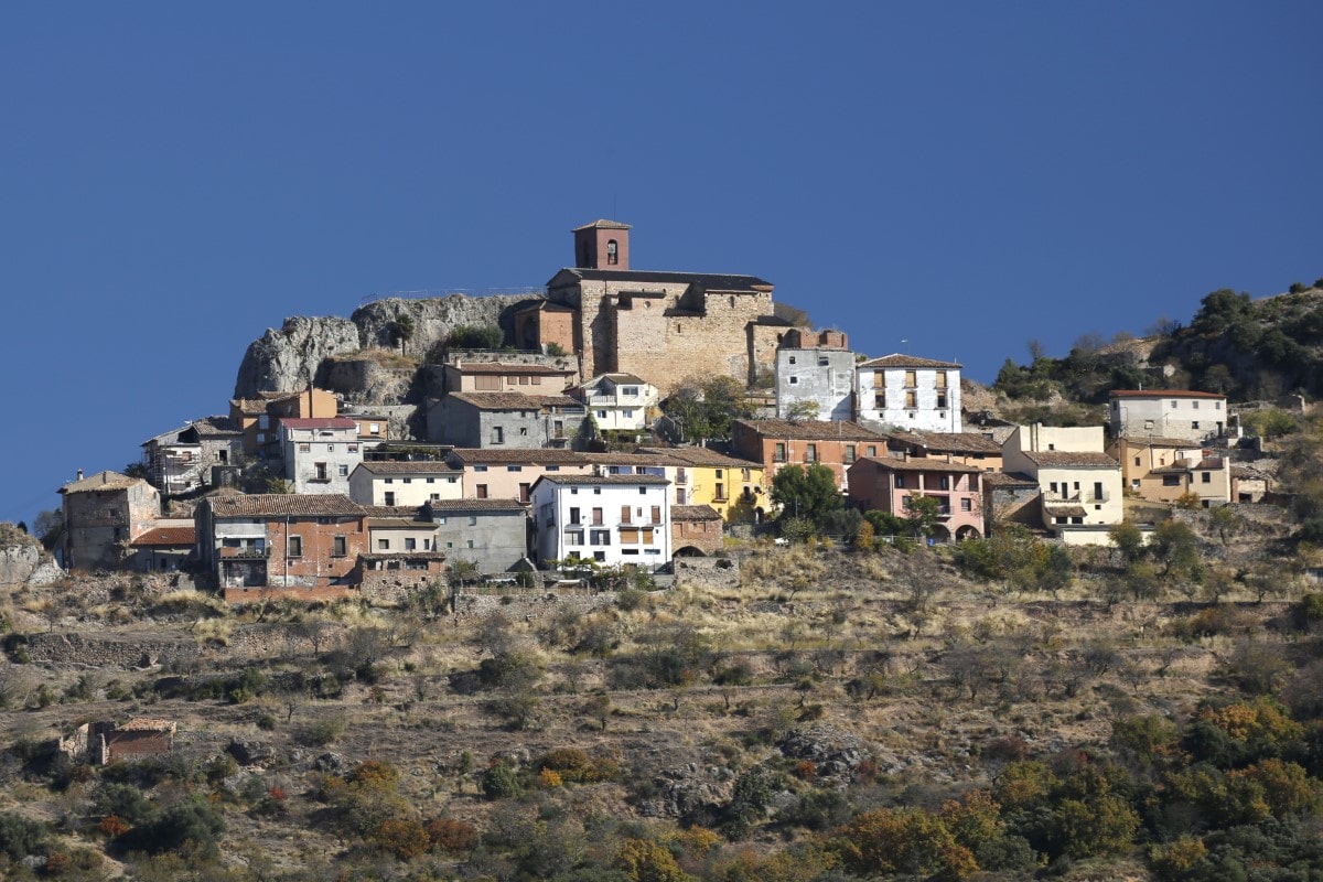
The municipal council of Hoz-Costean is made up of Montesa, Hoz de Barbastro, Salinas de Hoz, Costean and Guardia (uninhabited) all of which are located in the environs of the mountains known as the Sierra de Salinas.
The almost exclusive use of rough stone gives an urban landscape of pink tones and rough textures, in which the buildings are grouped into two well-defined areas. Many houses display beautiful ironwork, such as doorknockers in curious animal shapes.
Built in honour of Mary Magdalene, the parish church was constructed in the 17th century on the remains of a medieval castle. In its architectural design, different styles merge such as: Gothic (the ribbed vaults); Renaissance (cupola with cross); and Mudejar (gypsum decoration on the arches).
Hoz de Barbastro holds its local fiestas on the 22nd of July in honour of Santa Maria Magdalena.


Permisán
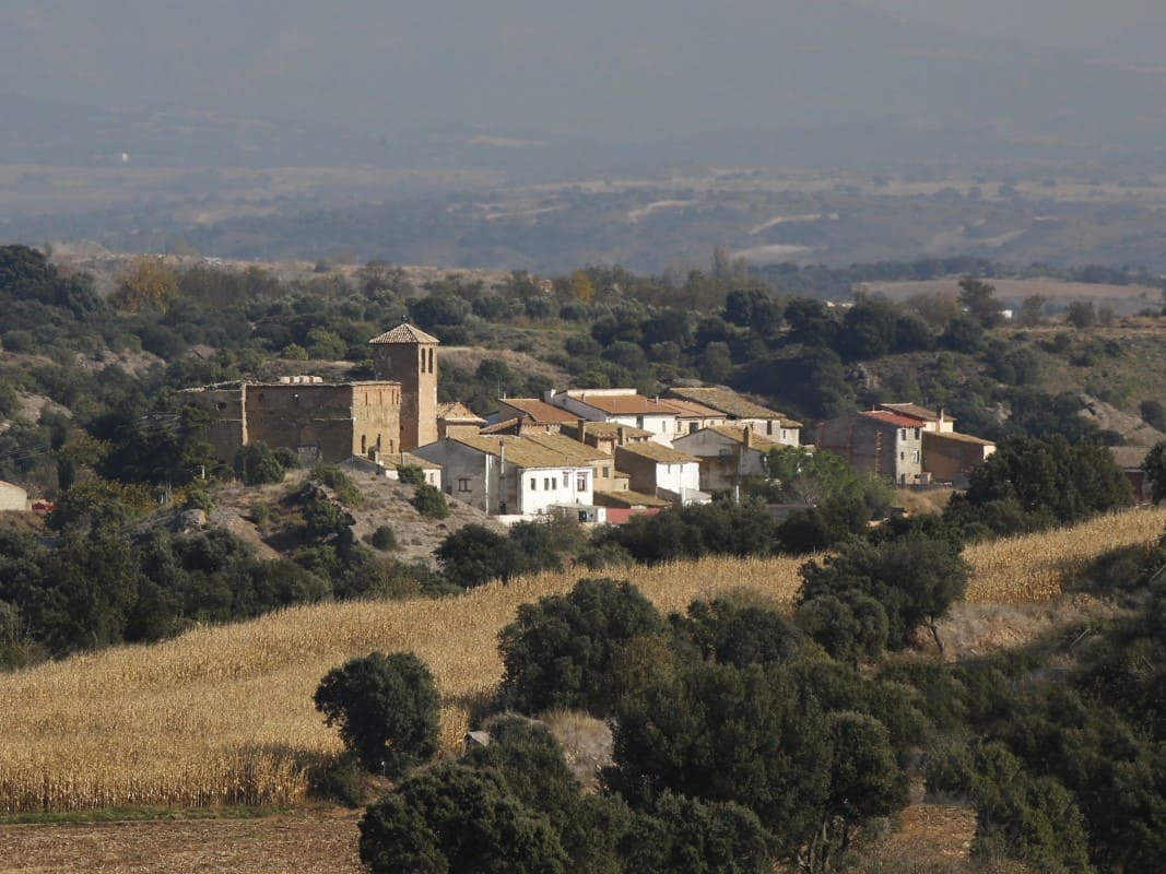
The small village of Permisán belongs to the municipal council of Ilche and is located on an agricultural plain to the south of Somontano.
Its most noticeable features are the fortified palace and the Los Angeles parish church, both of which date to the 16th century.
The palace is made up of two sections. The huge quadrangular block made of ashlars (measuring 20 x 14 metres) was used as a house. The square tower (sides each measuring 6 metres) rises at one of the corners and has a defensive air. The tower highlighted the elevation of the building and so a gallery of brick arches was added to the main section to reflect the height of the tower. The walls have large openings where artillery was once stored.
The simple church building with its single nave is attached to the palace and was built at the same time.

Colungo
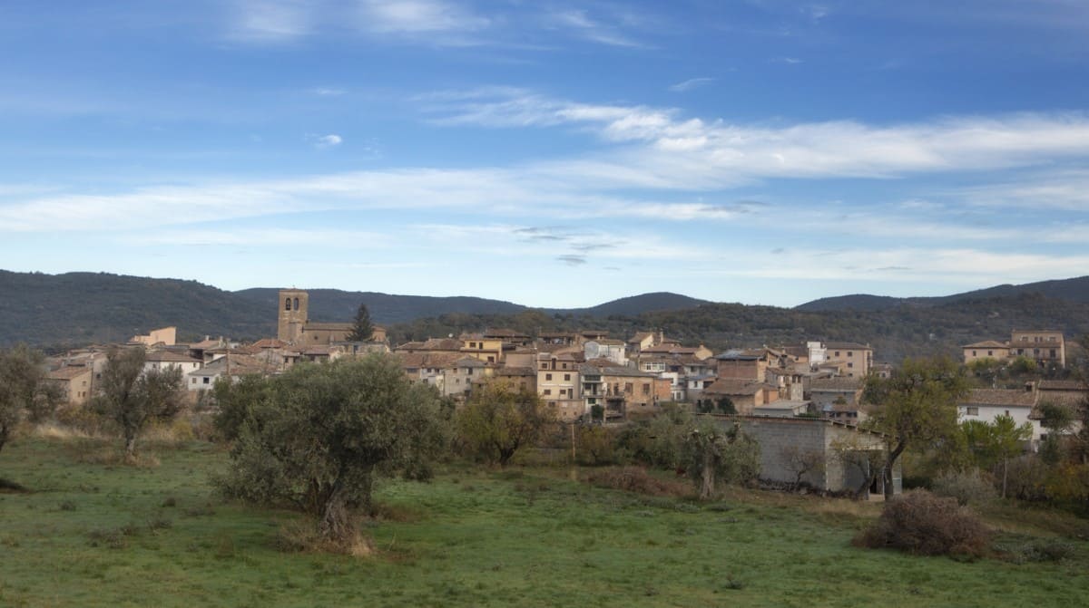
The inhabitants of Asque and Colungo, two small villages that belong to the same municipal council, have traditionally communicated via the Devil’s Bridge, which occupies a spectacular location in the Fornocal canyon.
Colungo is the ideal starting point for excursions and is within easy reach of the bridges that cross the Palomeras and Gargantas Canyons. It is also the perfect viewing point from which to gaze down into the depths of the Fornocal Canyon.A number of historic ancestral houses from the 16th, 17th and 18th centuries can be seen on a stroll through the village centre, including Casa Notario, Casa Broto y Casa Avellanas.
As in many other locations across Somontano, wine that was too acidic to drink was traditionally distilled to make spirit. This tradition has continued and liqueurs are now commercially produced with a range of flavours that include coffee, tea, wild fruit, grape and, the most popular of all, aniseed. This last liqueur in particular has brought fame to village of Colungo. In a place known as the Demba de Nadal on the outskirts of the village there is a magnificent millennial olive tree that locals say was planted by “the Moors.” Despite its age, its owner reaps a fine harvest of olives every year.
The Cave Art Visitor Centre is the perfect departure point for a thrilling journey back in time, experiencing pre-historic life in the Alto Aragon region through the cave paintings of the River Vero Cultural Park.


