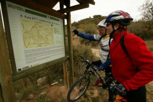
BTT
Ancient Stones route
Technical information
Type of route: circular/ Rally/ Gravel
Itinerary: Abiego-Azlor-Huerta de Vero-Adahuesca-Abiego
KM: 27,59
Duration: 3 h
Gradient: 584 m
Level:
Points of interest
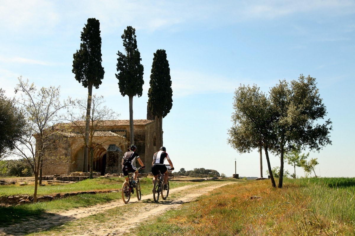
Cabañera, Ulrich Rükriem’s monument to the 20th Century, the convent of San Joaquín (Abiego), the Romanesque shrine of Treviño, Crucelós (Adahuesca), panoramic views.
Route description
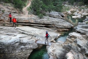
Stones are the focal point of this particular route. Some of them, such as those found at the site of La Fondota, in Abiego, bear the imprints of prehistoric creatures that died out millions of years ago. Others, meanwhile, take the form of contemporary monuments, such as the amazing steles that pay homage to the 20th century and which can be found in the section running through La Cabañera, close to Abiego. It was up this route that the fl ocks and herds of the flatlands climbed in the summer towards the high pasturelands of the Pyrenees.
Shaped by the able hands of the stonemasons of Romanesque times, certain stones took the form of strange masks, such as those that can be seen at the shrine of Treviño, in Adahuesca.
The stones at Crucelós stand testament to ancient fertility rites. When you reach this mound steeped in mystery be sure to throw a stone at it - as well as pleasing the dead, the offering will keep their spirits bound firmly to the earth.
Photo gallery


Location map

Banks of the Alcanadre route
Technical information
Type of route: circular/ Rally/ Starter
Itinerary: Peralta de Alcofea-Torres de Alcanadre
KM: 21,5
Duration: 2 h
Gradient: 193 m
Level:
Points of interest
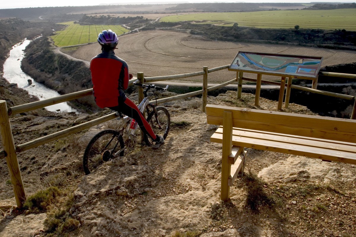
Remains of the Roman dam at Valdera, Cabañera, the Alcanadre river, a birdwatching area, the shrine of San Bartolomé, panoramic views.
Route description
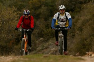
This route winds its way through the isolated low hills in the south of the Somontano, a virtually semi-desert area characterised by largely flat terrain, and what are known as the “planas”: flat-topped, sheer-sided hillocks. These arid lands, traditionally given over to dry farming, have been transformed in recent times with the advent of irrigated crops.
The section between Peralta de Alcofea and Lacuadrada brings to mind the bleating herds and fl ocks of livestock
that used to wend their way up this selfsame path en route to the Pyrenean pastures, where they would spend the summer months before coming back down again to the more sheltered fl atlands when the chills of winter blew in.
Photo gallery


Location map

Well-Springs route
Technical information
Type of route: circular/ Rally/ gravel
Itinerary: Laluenga-Lacuadrada-Lagunarrota-Laperdiguera-Laluenga
KM: 36
Duration: 3 h
Gradient: 425 m
Level:
Points of interest
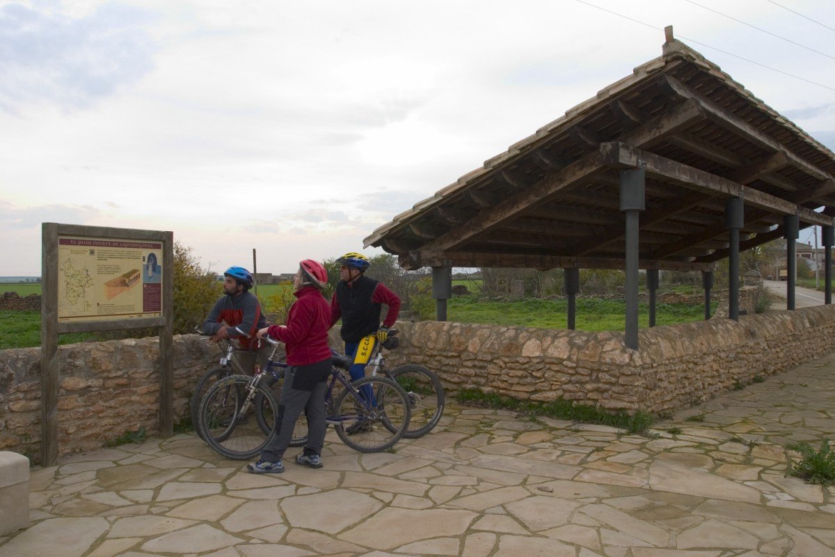
The well-springs of Laperdiguera, Lagunarrota and Laluenga where is possible to visit the Somontano spring wells visitor centre.
Route description
From Laluenga in the south of Somontano, the route runs into thefl atlands leading to Los Monegros to reveal another side to the Somotano region, a semi-desert landscape with gentle ridges, isolated low hills and solitary boulders, a landscape that was once covered with holm oaks. In the southernmost part savin and juniper bushes, gorse and aromatic plants have managed to withstand the harsh climate and establish themselves in the poor soil. Having once eked out a living through dryland farming, in recent years the local people have transformed the countryside by creating vast areas of irrigated land.
The nearby villages of Laluenga, Lagunarrota and Laperdiguera are home to a number of well-springs, which provided access to underground springs. The well-springs consisted of a shaft dug into the rock and featuring several galleries, the shaft being accessed by steps that were in part domed.
Photo gallery


Location map

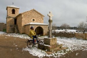
Santa María de Dulcis route
Technical information
Type of route: circular/ Rally/ Gravel
Itinerary: Buera - Colungo
KM: 18,5
Duration: 2 h
Gradient: 356 m
Level:
Points of interest
The sanctuary of Santa María de Dulcis (Buera) and the Cave Art Visitor Centre in Colungo.
Route description
Buera sits on fl at land some 522 metres above sea level. Its inhabitants have traditionally made a living growing cereal crops, almonds, vines and olives. The Buera olive mill (a museum dedicated to Somontano olive oil) brings the ancient trades of the past vividly to life.
The route begins in Buera before crossing what is known as the Pozo ravine, where snow and ice was once collected to then be stored at the nearby D’os Moros ice well. The ice was used to preserve food and for therapeutic purposes. This large circular construction is covered by a beautiful dome made entirely of stone and half buried beneath the ground.
Further on lies the 12th-century sanctuar y of the Virgen de Dulcis, an area where riders can rest in the shade, take on water and pick up information on the area. The route links up a little later with the old hiking trail that leads to the nearby village of Colungo, at which point it turns and runs along the foothills of the Sierra de Salinas back to Buera.
Photo gallery


Location map