Technical information
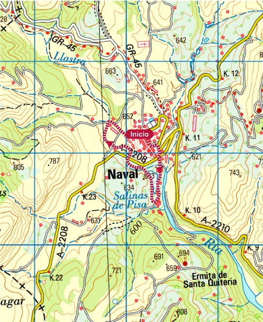
Type of route: circular hiking route.
Departure point: Naval, Plaza Mayor y calle Santo Cristo
KM: 2,7
Duration: 1 h
Gradient: 120 m
MIDE: 1-2-2-1
Difficulty:
Points of interest
The banks of the Llastre (fauna and flora), the salt beds, orchards, farmland and Salinar de la Rolda.
Route description
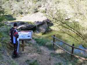
The educational Salt Route leaves from the Calle de Santo Cristo in the centre of Naval. It is well signposted and dotted with information panels, helping the visitor to understand the natural and cultural importance of this unknown corner of Somontano.
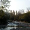
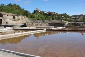
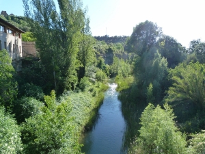
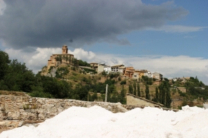
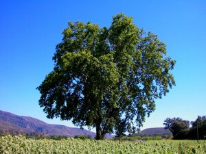
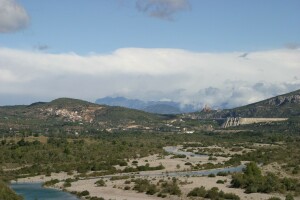
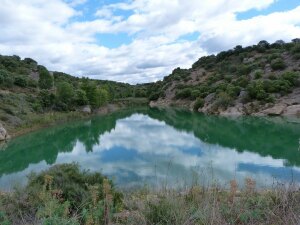
Following the path, you will soon arrive at the salt beds of Naval. The route passes close to the River Llastre where many different species of tree and bush can be found, such as poplar, ash and willow.
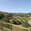
The path passes under the bridge that carries the road over the water. Just a few minutes walk from here you will cross the river to arrive at La Rolda Viewpoint,which affords clear views over the whole of the salt production area.
From the viewpoint the path winds its way down between the salt beds of La Rolda and Pisa, before arriving back at the River Llastre. Set between fertile vegetable gardens marked out by old stone walls, the path arrives at a wooden bridge. Crossing this will bring you to the steep asphalt road which leads back into the town centre.
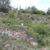
Traditional methods of production are still used in the ancient salt beds of Naval. The history of Naval is inextricably linked with the production of salt, which although unconfirmed, is said to date back to the 11th century. These installations were created in order to exploit a number of saline springs that had risen to the surface at the foot of the mountains. It was also necessary to build a number of other structures to assist in the production process, such as pools and salt stores. The extraction of salt has always been an important source of income for many families in Naval.
Photo gallery
Map
