Technical information
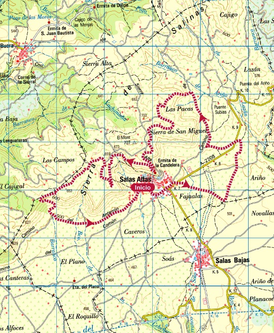
Type of route: circular hiking and mountain bike route
Departure point: Salas Altas, recreational area.
KM: 16,3
Duration: 5 h
Gradient: 320 m
MIDE: 1-2-2-3
Difficulty:
Points of interest
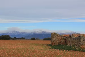
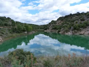
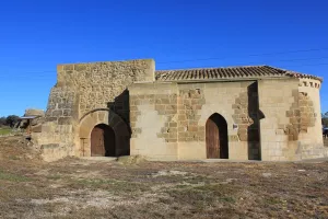
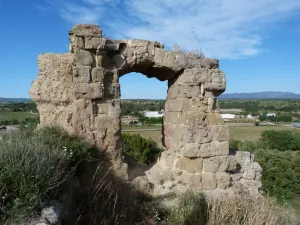
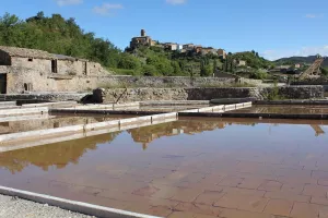
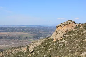
Traditional architecture, springs, traditional crops and vineyards, vantage points overlooking the Somontano, Guara and the Pyrenees, the shrine of La Candelera.
Route description
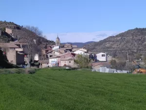
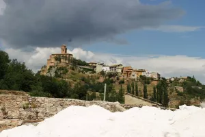
The environs of Salas Altas lie on the border of two distinct territories: one of agricultural plains covered in a mosaic of Mediterranean crops and the other, a mountainous fringe known as the Candelera Mountains. This small town nestles peacefully beneath the Candelera range.
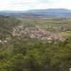
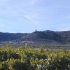
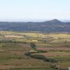
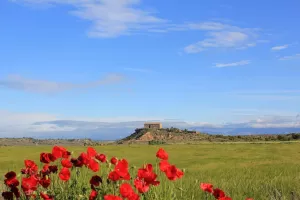
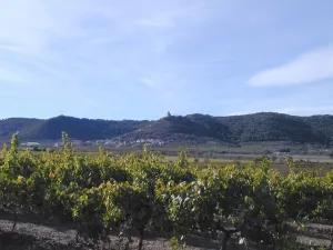
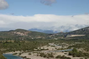
A varied landscape full of subtle shades and contrasts is the main attraction of this route. It is trail ideally suited to hiking, snaking between extensive fields full of vines before eventually arriving at the mountains. Thanks to its privileged location, this gentle terrain offers the hiker magnificent views of Somontano, the Pyrenees and the Guara mountains.
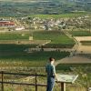
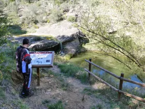
In addition to a taste of the agricultural and forest environments of Salas Altas, this route also provides an opportunity to follow an educational trail. A series of panels by the vineyards display information about the different varieties of grapes grown in the Denomination of Origin (D.O.) of Somontano.
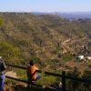
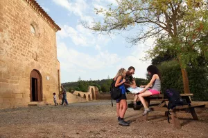
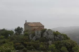
Just by the chapel of La Candelera there is an information board showing interesting ethnographic features of Salas Altas. From here, the walk continues on through the mountains, winding between pines and old cultivated terraces. The points of ras Pacas, San Jorge (which has a picnic area) and ro Mon - at 700 metres above sea level - are unforgettable viewpoints and are equipped with panoramic information boards that look out towards the Pyrenees, the Somontano and the Guara mountains respectively.
Photo gallery
Map
