Technical information
Type of route: circular hiking route
Departure point: Berbegal
KM: 6,6
Duration: 2 h
Gradient: 150 m
MIDE: 1-2-2-2
Difficulty:
Points of interest
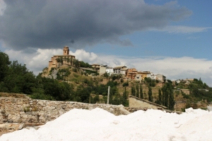
Traditional architecture, both Romanesque and Gothic; stretches of a Roman road and the St James’ Way; viewpoints.
Route description
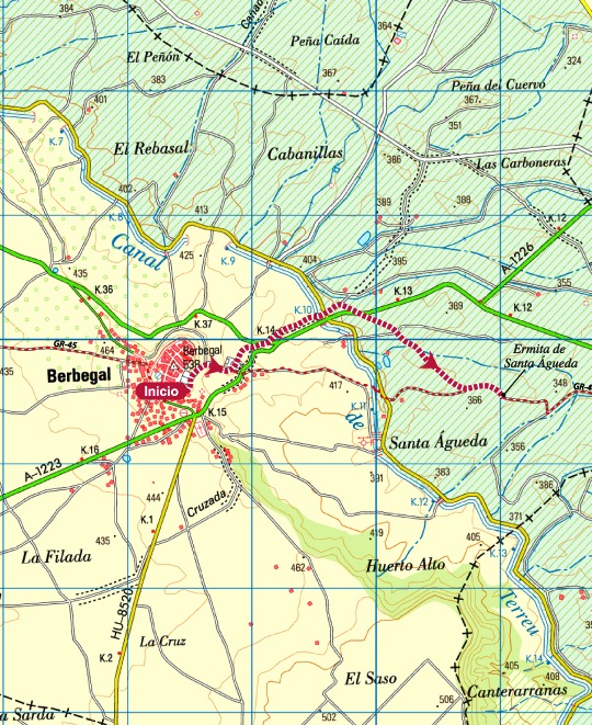
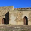
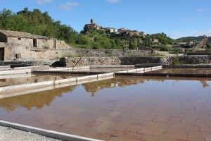
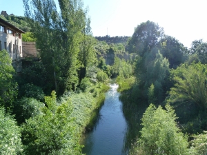
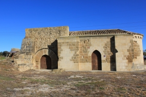
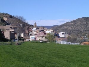
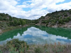
From the village of Berbegal, head south towards the crossroads where the A-1223 and the HU-852 merge. The Balsas de Tejar (water reservoirs) are nearby and mark the start of the old path known locally as the ‘Camino de Morilla.’ Pick up the trail and follow it along to the point where it meets the Terreu canal. After crossing over the canal bridge, continue along the slowly descending path; as you reach the end, you will notice another that runs parallel to a small irrigation channel. Follow this until you reach the Santa Águeda Chapel and the Witch’s Rock.
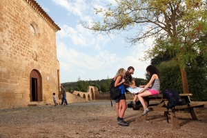
From the chapel the route starts to climb until it reaches a crossroads. At this point, take the path to the left, which will shortly cross the A-1223 main road to Barbastro. The following section of the route is flanked by thick stone walls and forms part of the Catalan-Aragón branch of the pilgrim route known as the Camino de Santiago (Road to Santiago.) It is also thought to have once made up part of the old Roman road which linked the cities of Ilerida (Lérida) and Osca (Huesca.)
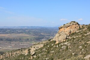
You will then meet up with the canal once more, and by following its course on the right hand bank for around 4 km, you will arrive at the enigmatic Muyed Rock. From here, retrace your steps along the same path until reaching a floodgate in the canal. Cross over the bridge to bring you onto a path know as the ‘Royal Zaragoza Way.’ The path continues to climb until it reaches the Balsa Galiana (a small reservoir) and at this point take the road to the left. This is the final stretch of the walk, which brings you back to the starting point of Berbegal.
Photo gallery
Map
