Technical information
Type of route: circular hiking route
Departure point: A-2205. Colungo
KM: 11,7
Duration: 4 h
Gradient: 540 m
MIDE: 2-2-2-3
Difficulty:
Points of interest
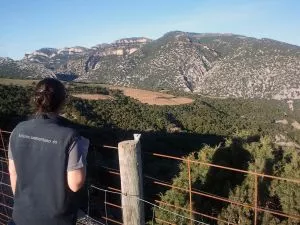
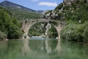
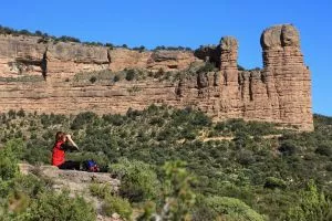
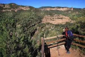
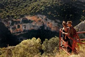
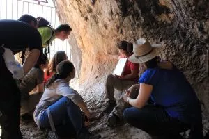
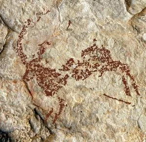
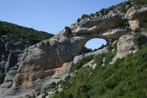
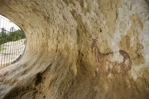
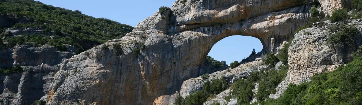
Limestone formations, landscapes, characteristic of the Sierra de Guara and areas of mycological interest and Portal de la Cunarda
Route description
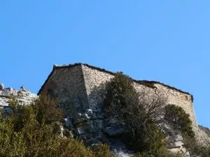
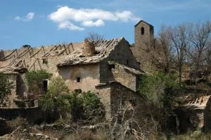
This is an easy, circular route of approximately 3 hours in duration, which starts and finishes in the village of Colungo. After passing by the water fountain and the old washing area the route crosses the road and follows the ancient “Os Carros” footpath (also known as the Suelves track.) Opposite a small, old stone shelter the path descends into the Arruellos canyon. Further on it enters the Cunarda pine forest, which is a great spot for lovers of wild mushrooms, and drops down into the Tacho canyon. From the point where the Tacho and Portal canyons merge it is possible to see the distinctive and impressive arch formed by erosion of the limestone.
Photo gallery


Map